The polar vortex is bringing 'dangerous' cold and 'intense' snow squalls to Ontario this week
Between 20 and 40 centimetres are forecast around the Great Lakes.
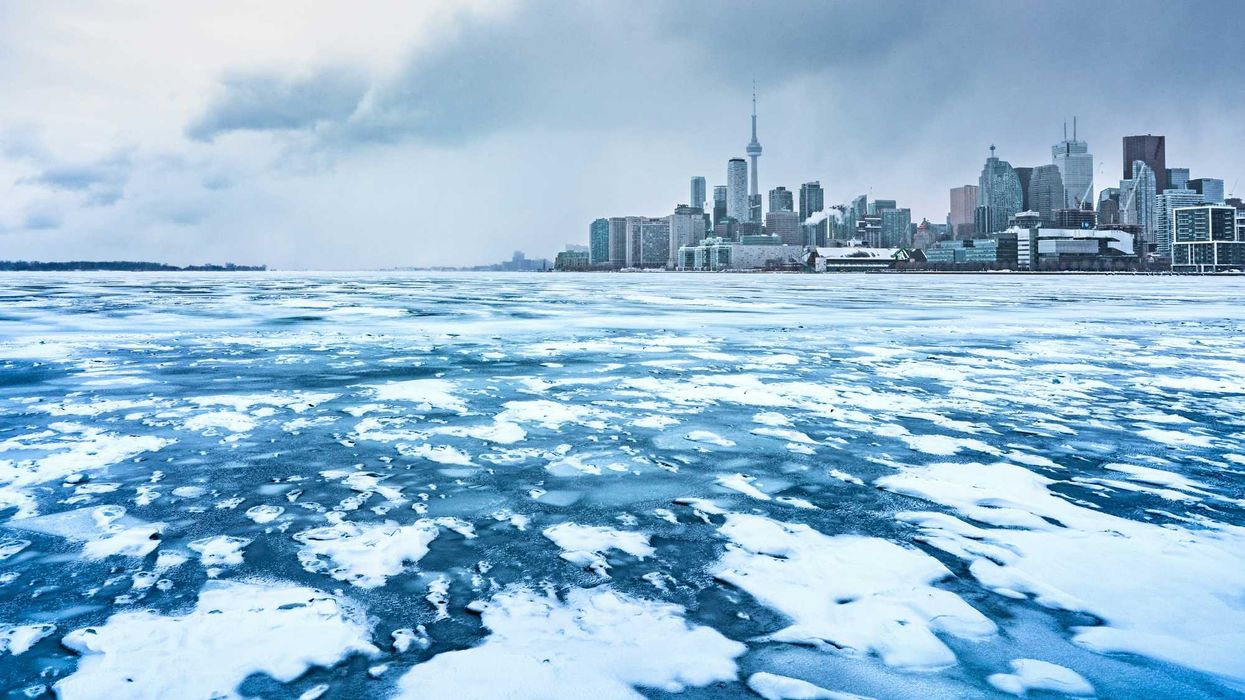
Icy and snowy Lake Ontario.
Ontario's weather will feature "dangerous wind chills" and "intense" snow squalls because of the polar vortex.
Temperatures below -15 C and 20 to 40 centimetres of snow are expected in some places.
A new forecast from The Weather Network revealed that the polar vortex is extending into Ontario on Thursday, December 4 and Friday, December 5.
It will bring the coldest air of the season and lake-effect snow to many parts of the province.
As frigid arctic air mixes with the warmer Great Lakes, it will cause "intense" snow squalls starting late Wednesday and continuing into Thursday.
The heaviest snow is expected in southern Ontario's snowbelt and Lake Superior's north shore, according to The Weather Network.
Along Highway 17 between Sault Ste. Marie and Wawa, 20 to 40 centimetres of snow is possible.
Between 20 and 30 centimetres is forecast for places near Lake Huron and Georgian Bay in southern Ontario.
Only three to five centimetres are expected in parts of the GTA and less than three centimetres in Toronto.
The snow will taper off by Thursday afternoon.
But then temperatures will plunge below seasonal norms with "dangerous wind chills."
Timmins is forecast to reach a low of -27 C with wind chills dipping below -30 C on Thursday.
In Ottawa, the temperature is expected to be near -18 C and feel like -25 C, which is much colder than the seasonal low of -8 C.
The Weather Network said Toronto could get its coldest temperature this season. It's forecast to be colder than -10 C on Thursday night with the wind chill near -17 C.
It will be -12 C in Windsor, -11 C in London, -15 C in Barrie, -17 C in Kingston, -21 C in Sudbury, -11 C in Sault Ste. Marie and -10 C in Thunder Bay on Thursday evening.
This article's cover image was used for illustrative purposes only.