A Massive Dust Cloud From The Sahara Desert Is Going To Hit Miami Next Week
Watch out for a speck of dust in the air next week. A huge Sahara dust cloud hits Florida on Monday, and it will bring with it dry skies. This event will be strong enough to block storms from reaching the area.
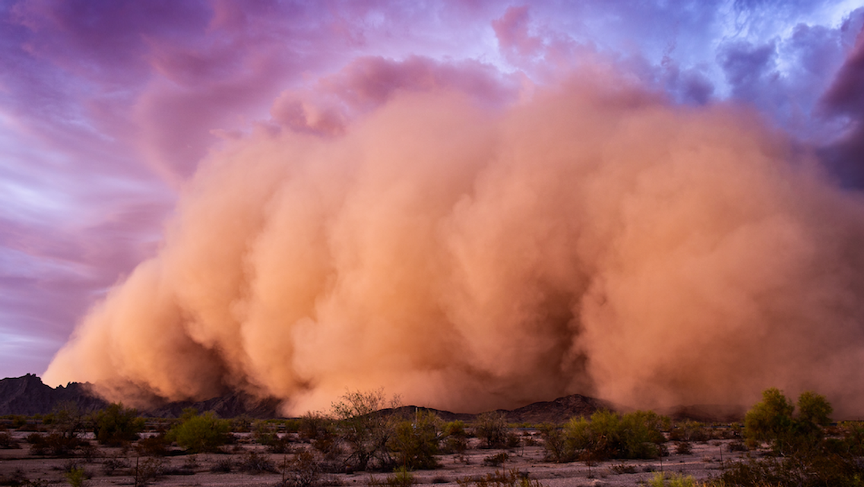
This dust storm from the Sahara Desert in Africa is making it's way to the Sunshine State. This will dry up the atmosphere, starving storms of the needed fuel to strengthen into major hurricanes.
That translates into a week of little development of tropical activity in the Atlantic, essentially "pausing" hurricane season in South Florida for the moment.
These plumes are not an uncommon sight, as these types of storms normally make their way across the Atlantic Ocean this time of the year. While most make it to the Caribbean, some can reach America, like this one.
This entire episode is known as "Saharan Air Layer," which lifts dust from the region up to 20,000 feet with winds carrying it across the ocean.
The event can usually last up to 10 days and can occur multiple times throughout the summer. While the plumes of dust are usually small, the cloud making its way to Miami is more significant than what's normally observed.
South Floridians will wind up seeing hazy skies during the day, but the dust storm will also make sunrises and sunsets extremely beautiful.
"Sahara dust is orange and red, so as the sun sets through the haze, you'll get bright, brilliant sunsets," Rick Davis of the National Weather Service told the Tampa Bay Times.
In the meantime, hurricane season is on vacation, but some are still predicting a higher-than-normal hurricane season for 2020.
According to the Weather Channel, experts anticipate nine hurricanes to form, which is three more than last year.
They're saying that four of these storms are expected to be significant, which means they can cause devastating damage. Some tropical depressions had the potential of upgrading to storm systems before the season officially started.
This could also be the last Saharan dust storm event for the season, leaving little in the way of storms in the Atlantic to form into hurricanes.
*Photo used for illustrative purposes.