Ontario's Brutal Snowstorm Isn't Over & Another 20 cm Could Hit By The End Of The Week
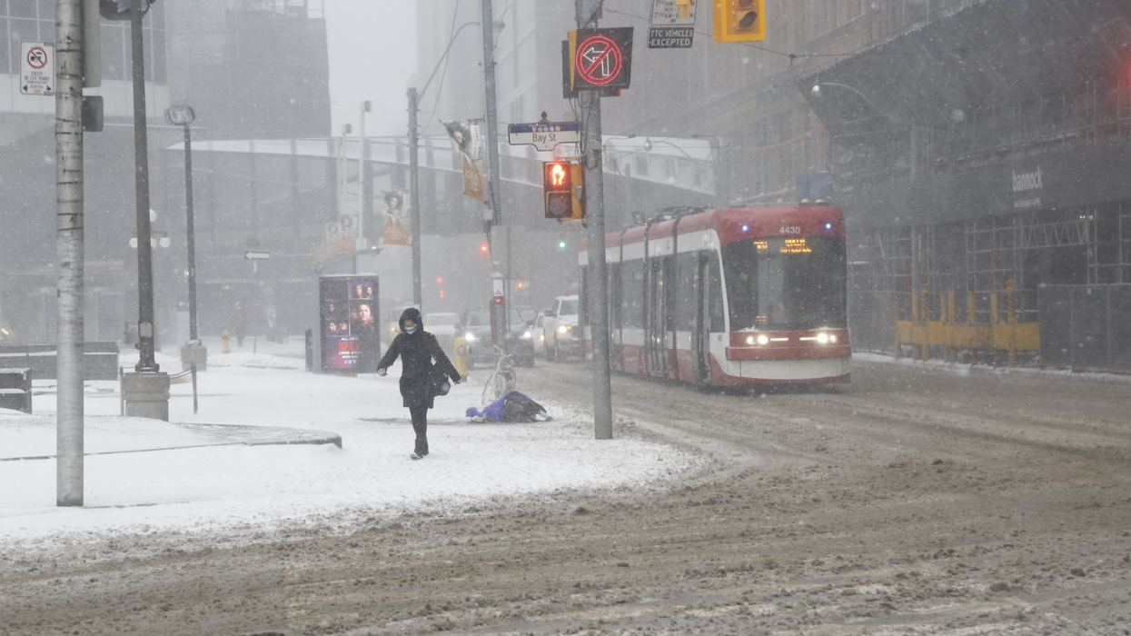
An Ontario winter storm is sweeping across the province today, with heavy snowfall creating dangerous travel conditions.
According to The Weather Network, 15 to 35 centimetres of snow and widespread 50km/hr winds are forecasted to hit southern regions on Tuesday.
Editor's Choice: Here's What You Can Do In Each Colour Zone When Most Of Ontario Reopens On Tuesday
While the messy conditions will taper off by the afternoon, it's not the last time we'll see snow this week.
According to TWN, another powerful winter storm is forecasted to arrive by Thursday.
The system could bring another 20 centimetres of snow to southern Ontario this week.
The Niagara Falls area could see 15 centimetres by Friday night with an additional 5 centimetres over the weekend.
Meanwhile, Toronto could see an additional 18 centimetres by Sunday.
Currently, Environment Canada is warning residents to postpone all non-essential travel until the roads are cleared.