Parts Of Ontario Are Getting Hit With Up To 10 cm Of Snow & Strong Winds Today
Drivers are being warned about poor visibility.
Summer may have come early for parts of the province this year, but some northern areas are still battling wintry weather.
Ontario's weather forecast is predicting up to 10 centimetres of snow to arrive Wednesday morning in the northern parts of the province, including Peawanuck.
Environment Canada is warning drivers that the incoming strong winds and blowing snow will reduce visibility to as low as 500 metres at times.
"Increasing northerly winds gusting to 70 km/h will result in areas of blowing snow and poor visibility this morning. Conditions should improve this afternoon as the snow tapers off and winds slowly diminish," the advisory stated. "Travel is expected to be hazardous due to reduced visibility."
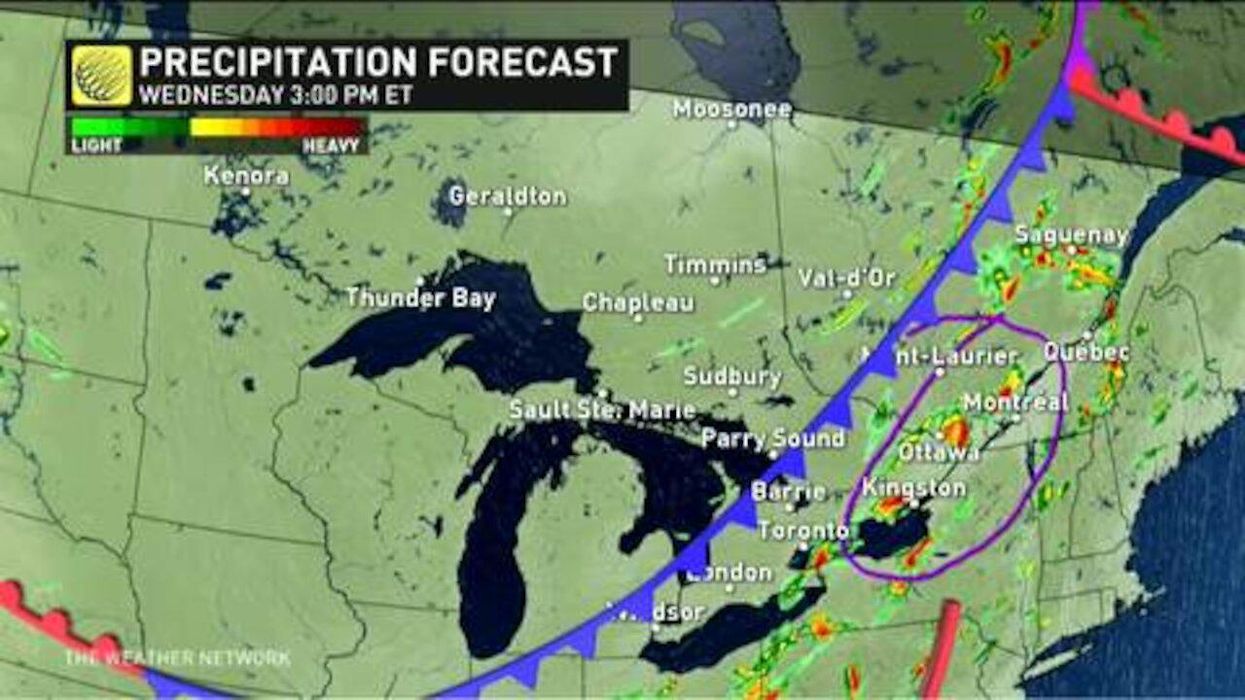
If you live in the southern part of the province, you won't have to worry about the snow. However, spots like Toronto are expected to see rainfall throughout the day.
Colder weather is on the way
According to The Weather Network, a major cooldown will be hitting the province this week.
In fact, some spots can see about a 20-degree dip, from the above-30 temperatures on Tuesday to the 12-degree temperature expected in the GTA by Friday.
"Southern Ontario may fail to even reach the lower teens, with a few spots possibly stay in the single digits," says Dr. Doug Gillham, a meteorologist at The Weather Network.
Light rain is also expected to accompany these chilly temperatures throughout Thursday and Friday.
A possible freeze is also expected on Friday night in areas north of the GTA.