A storm is bringing snow to Ontario this week and temperatures will feel colder than -30 C
The "very cold arctic air" is also forecast to cause lake-effect snow. 🥶
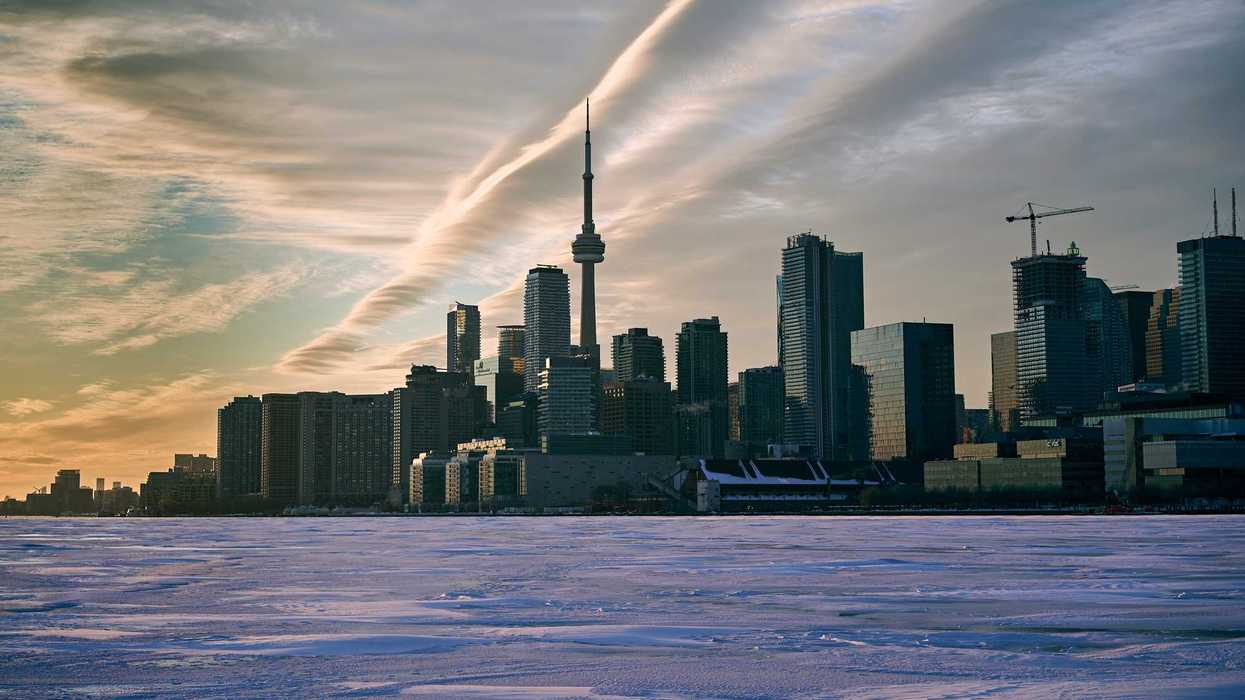
Toronto skyline along frozen Lake Ontario.
Many provinces are getting hit by a Canada-wide winter storm this week.
Ontario's weather will be snowy, and then "very cold arctic air" will make it feel colder than -30 C.
The Weather Network revealed in a new forecast that a snowy low-pressure system will cross the country this week and bring winter weather to the Prairies, Ontario, Quebec and Atlantic Canada.
The storm will descend from the Prairies towards the Great Lakes, with snow falling in northern Ontario on Thursday, February 5.
Then, there will be snow in the southern and eastern parts of Ontario on Friday, February 6.
According to The Weather Network, "very cold arctic air" will cause temperatures to plunge across eastern parts of Canada after the storm.
Overnight lows are forecast to be in the -20s in many places once this snowy weather system moves out of Ontario.
That cold air could lead to lake-effect snow in parts of southern Ontario because Lake Huron isn't entirely frozen.
Around five centimetres or less is expected in Toronto and much of the GTA this week.
But places closer to Lake Huron, like Goderich, could get up to 15 centimetres by Sunday!
Southern Ontario is forecast to be -20 C on Friday night, with wind chills in the -30s.
It will be even colder in northern Ontario as temperatures drop to -25 C or colder on Friday night. The wind will make it feel like -30 C to -40 C.
The Weather Network said a "significant break" from arctic air is on the way. After this cold snap, it's "unlikely" that temperatures will be as cold as what's forecast in Ontario this weekend.
But that doesn't mean winter is over.
There is still the chance of "messy and significant" winter storms during the rest of the season.
READ NEXT: Ontario's weather forecast for February reveals that there'll be snowstorms on these days
This article's cover image was used for illustrative purposes only.