Parts Of Ontario Will Be Slammed With 20 cm Of Snow & Chilly Temps This Week
November is notorious for being one of the worst months for weather in Ontario. Yet, 2020 has been oddly sunny and warm this fall.
However, the province's rare return to summer-like conditions will be cut short this week by an approaching cold front.
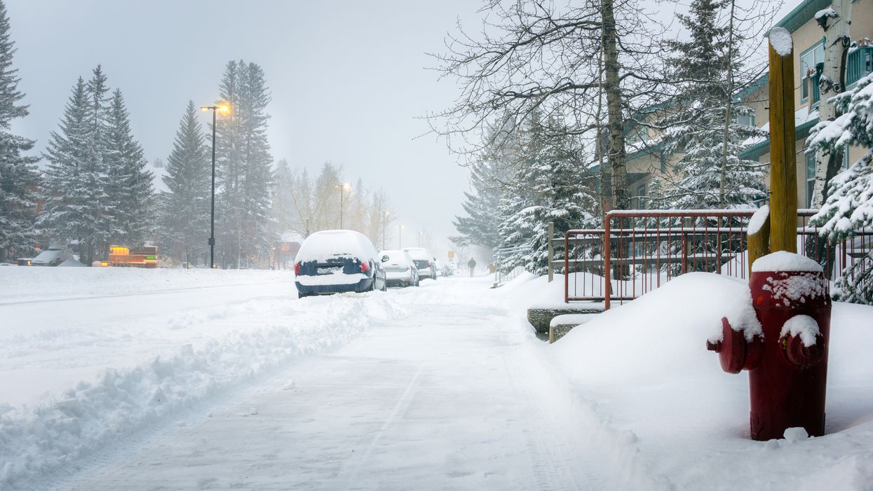
In fact, a freezing weather pattern is expected to bring up to 20 centimetres of snow to parts of northern Ontario starting Tuesday evening.
Editor's Choice: Ford Says He's Scrapping 14-Day Quarantine For Travellers With Or Without Trudeau
Southern parts of the province could also see flurries, but not until later next week.
Environment Canada has issued special weather statements for several areas including Thunder Bay, Nipigon, and Geraldton.
The heavy snowfall is expected to impact driving conditions as visibility will likely be poor.
"Hazardous winter driving conditions are expected tonight. Untreated roads may become snow-covered and slippery," the weather agency stated.
Temperatures in areas like Thunder Bay are also expected to drop to around -6 C throughout the rest of the week.
The sudden arrival of snow comes on the heels of Ontario breaking several warm weather records.