Southern Ontario is forecast to get more snow this weekend with 'frigid cold' temperatures
Some places could get up to 30 centimetres through next week! ❄️

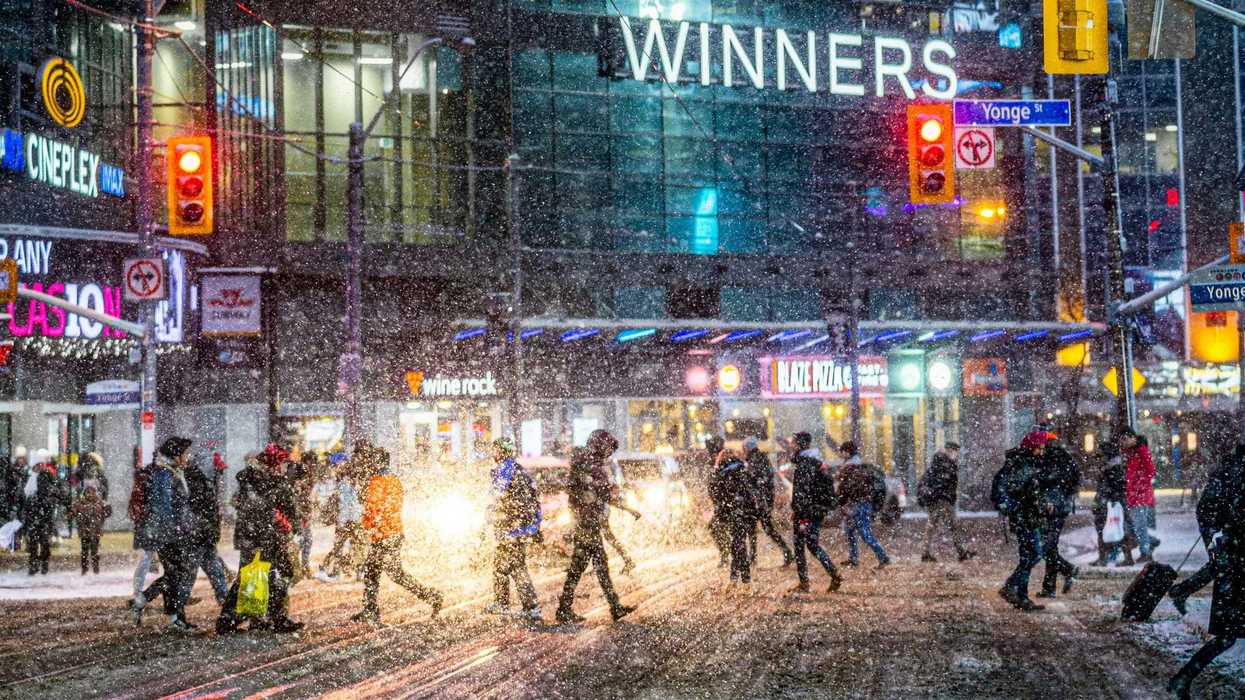
People crossing a Toronto street during a snowstorm.
Ontario's weather forecast revealed that more snow is on the way this weekend and into next week.
Arctic air is expected to cause lake-effect snow squalls and "frigid cold" temperatures in southern parts of the province.
This comes after 10 to more than 25 centimetres of snowfall in southern Ontario, including the Golden Horseshoe, parts of the GTA, and Prince Edward County.
The Weather Network said in a new forecast to get ready for more snow this weekend and next week.
Multiple rounds of snow are expected in southern Ontario on Friday, January 16, Saturday, January 17, Sunday, January 18 and Monday, January 19.
Toronto's weather forecast called for five centimetres on Friday, about one centimetre on both Saturday and Sunday, and one to three centimetres on Monday.
Parts of the GTA are also expected to get those snowfall amounts.
But there could be more accumulation west of the city in the snowbelt areas around Lake Huron and Georgian Bay.
It's expected that Goderich could get five to 10 centimetres on Friday, five centimetres on Saturday, five centimetres on Sunday, and five to 10 centimetres on Monday!
Then, next week, "frigid cold" arctic air will cause lake-effect snow squalls in places east and southeast of Lake Huron and Georgian Bay.
This "surge of arctic air" is going to keep temperatures cold for much of the week.
On Tuesday, January 20, it's forecast to be -14 C but feel like -24 C with the wind chill in Toronto!
Temperatures will be -16 C (feeling like -26 C) in London, -14 C (feeling like -24 C) in Windsor, 16 C (feeling like -24 C) in Kingston, -20 C (feeling like -25 C) in Ottawa, and -17 C (feeling like -20 C) in Parry Sound.
The Weather Network said a winter weather pattern is expected to continue through the end of January.
There is the potential for "notable winter storms" this month from Colorado, Texas, and Gulf lows moving across eastern parts of North America, including Ontario.
This article's cover image was used for illustrative purposes only.