Blizzard Heading For Parts Of Canada Could Bring 80 cm Of Snow & Travel Should Be Avoided
This "historic" storm will last for several days. 🥶
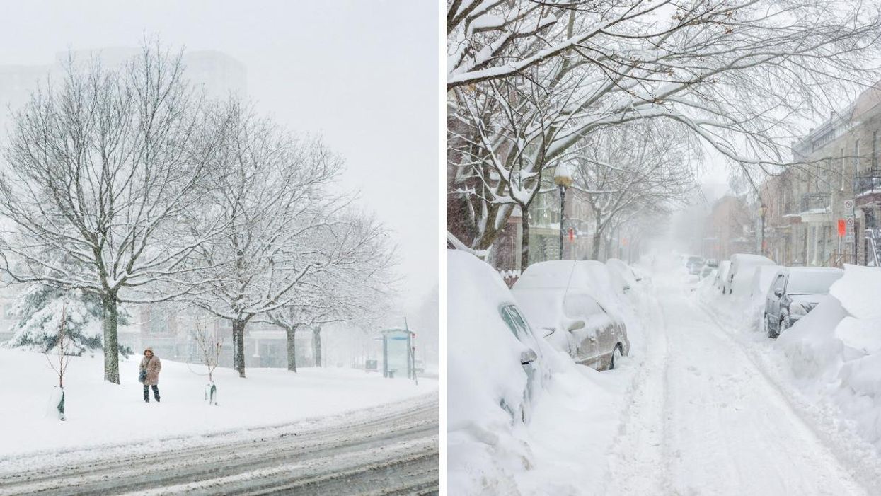
Snowstorms in Canada.
Canada's weather is about to get hectic because a "historic" blizzard is on the way for parts of the country and it could bring 80 centimetres of snow!
During an update about the snowstorm, Environment Canada warning preparedness meteorologist Natalie Hasell revealed how it will play out as a line of low pressure extends north from the U.S. into Saskatchewan and Manitoba.
"This one looks particularly bad," Hasell said.
Winter storm warnings and blizzard warnings have been issued by Environment Canada for the affected areas.
The snow is forecast to start in places along the Canada-U.S. border before midnight on Tuesday, April 12, and then quickly progress further north during the overnight hours on Wednesday, April 13.
Strong winds and gusts ranging from 70 km/h to 90 km/h are expected to cause reduced visibility and blowing snow, especially in southeastern Saskatchewan.
Total snow accumulation is forecast to be around 30 centimetres to 50 centimetres for southeastern Saskatchewan.
Western and southwestern parts of Manitoba could see "enhanced" snowfall, with 80 centimetres coming down, though some models are predicting even more than that.
"Avoid travel, have an emergency kit both for your home and for your car, be prepared for delays if you do have to travel and be prepared for power outages," Hasell said.
In southern Manitoba, there might be a break in the storm, but Hassell said to not be fooled because it's "merely a pause" and the storm will happen in waves.
The region will be affected by the storm continuing through Thursday, April 14, and Friday, April 15, with gradual improvement and definite clearing by Saturday, April 16.
Even after the storm has passed, its effects will linger with below normal temperatures lasting for several days after.
This article's cover image was used for illustrative purposes only.