Parts Of Canada Could See A Major Spring Blizzard This Week That May Be The Worst In Decades
Over 50 centimetres of snow could hit some areas. 😬
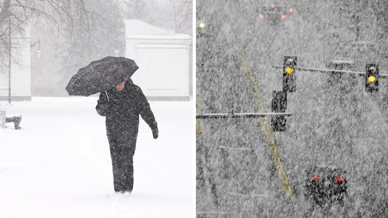
A person with an umbrella walking through snow. Right: Snowy conditions on the road.
The weather in Canada is about to get all kinds of wintery in some parts and Environment Canada has issued several warnings.
According to The Weather Network, the southern Prairies and parts of northwestern Ontario could be hit with upwards of 50 centimetres of snow this week.
The snow is due to hit the region starting on Tuesday, April 12, and last well into Thursday, April 14, for some areas. Drivers are being warned to stay off of the roads due to dangerous conditions, with travel within communities possibly becoming "next to impossible."
"Do not plan to travel," says Environment Canada. "This storm has the potential to be the worst blizzard in decades. Stock up on needed supplies and medications now."
According to TWN, "a deep reserve of Gulf moisture" will interact with below-freezing air over the Prairie provinces leading to an "extended period of snow."
TWN says this could be a high-impact storm "with steep snowfall totals and gusty winds that could lead to periods of whiteout conditions for many areas."
It warns that the heaviest of the snowfall will likely hit southern Manitoba on Wednesday and Thursday.
"Widespread totals of 20-40 cm are possible, with a few spots possibly picking up as much as 60 cm of snow," says TWN.
"The broad scope and slow movement of this storm means that this will be a prolonged snow event, with snow lasting for up to 48 hours in some areas."
To make matters even grimmer, there will be wind gusts of 70-90 km/h, which will give "near zero visibility at times."
The region should see milder weather next week, so at least there's something to look forward to after the wintry mess!
This article's cover image was used for illustrative purposes only.
- Canada's Weather In April Will Be 'Turbulent' As Winter Is 'Reluctant ... ›
- Canada's Spring 2022 Weather Forecast Has Dropped & We're In ... ›
- Blizzard Heading For Parts Of Canada Could Bring 80 cm Of Snow & Travel Should Be Avoided - Narcity ›
- Parts Of Canada Are Being Hit By Blizzard Conditions & The Storm Will Last For Days (VIDEOS) - Narcity ›