Parts of southern Ontario are forecast to get up to 50 cm from snow squalls by the weekend
"Expect significant delays and possible road closures."
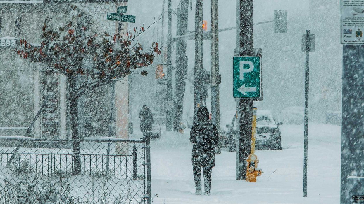
People walking during a snowstorm in Ontario.
Snow squalls are forecast to bring up to 50 centimetres to some parts of the province by the weekend.
There could be "hazardous" driving conditions because of southern Ontario's weather, so here's what you need to know.
A forecast from The Weather Network called for 15 to 50 centimetres of snow on Thursday, December 11 and Friday, December 12, from the lake effect snow squalls.
Travel could be "hazardous" as roads and walkways are likely to be difficult to navigate because of accumulating snow.
Highways 400, 21, 8 and 4 are expected to be the most impacted, according to The Weather Network.
There could be "significant delays and possible road closures" in some places.
Lake-effect snow will develop southeast of Lake Huron and Georgian Bay on Thursday, with multiple squalls bringing lots of accumulation.
The snow squall off Lake Huron will extend to London, Kitchener and communities near Highway 21.
A widespread 15 to 30 centimetres of snow is forecast, but weather conditions will be changeable as the squall shifts back and forth.
So, there could be 30 to 40 centimetres in places southeast of Goderich, 10 to 25 centimetres in London and Simcoe, 10 to 15 centimetres in Kitchener, and five to 10 centimetres closer to and in parts of the GTA like Orangville and Hamilton.
Another snow squall off Georgian Bay is more locked in, which means there's a risk of "very high snowfall totals."
Significant snow will accumulate on Thursday and Friday, especially along Highway 400 near and south of Barrie.
For Barrie, Angus, Borden, Stayner, Innisfil, and the surrounding areas, 40 to 50 centimetres of snow is possible by the weekend.
A widespread 10 to 30 centimetres of snow is forecast in Bradford, Newmarket, Aurora, King City, Richmond Hill, Uxbridge, and nearby places.
The Weather Network said snow squalls are narrow bands of "intense snow," which means it could be sunny in one area but "extremely snowy" somewhere not too far away.
These squalls can shift, so you're being told to prepare for travel disruptions if you're driving on Thursday and Friday.
This article's cover image was used for illustrative purposes only.