A Polar Vortex Is Descending On Canada & Some Areas Will See The Coldest Air Of The Season
Time to break out the winter coats. ❄️🥶
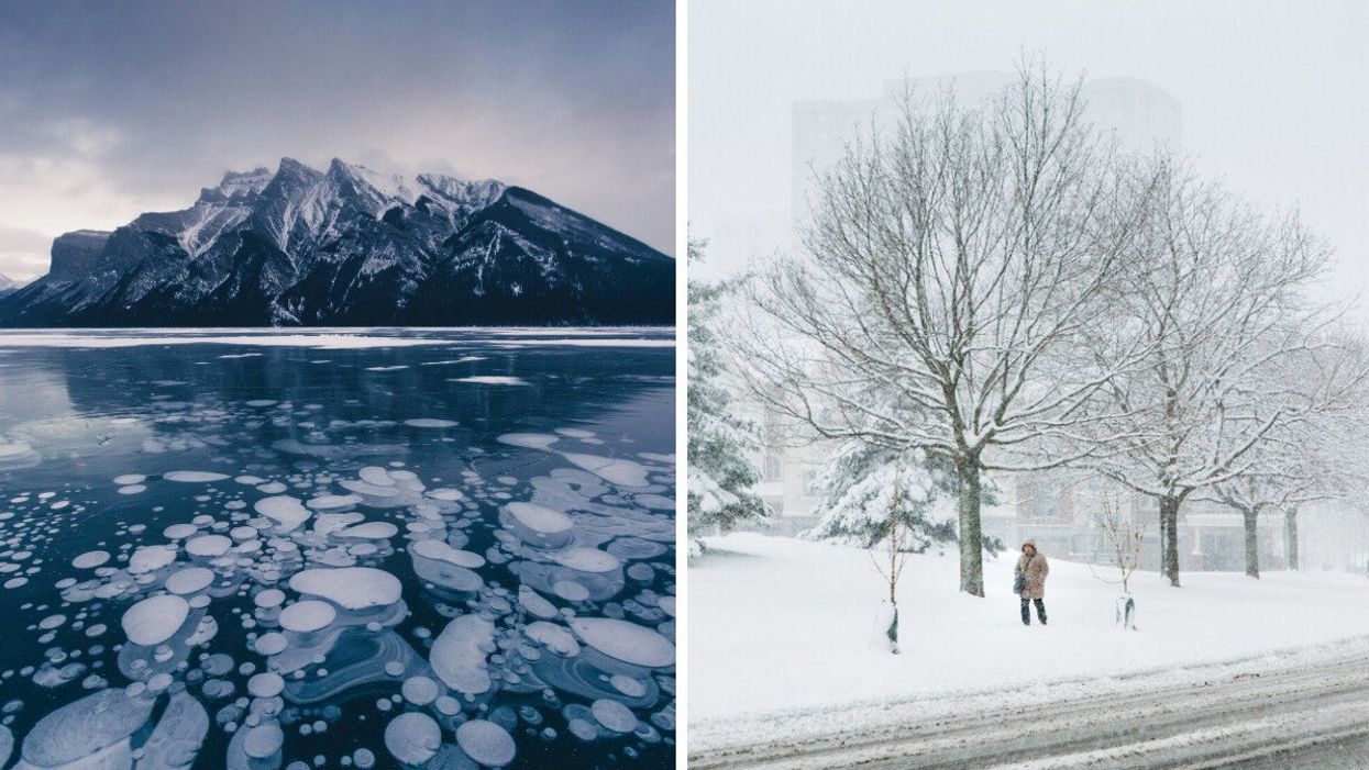
A frozen lake in Alberta. Right: Snow in Ontario.
Get ready to bundle up! A new weather forecast says parts of the country are in for some of the coldest temperatures of the season, and you'll probably want to break out your winter jacket.
Canada's weather forecast says cold air from a polar vortex will descend into eastern regions next week, making for "frigid" temperatures and the possibility of lots of snow.
According to The Weather Network, Eastern Canada is set to see temperatures that will feel much colder than most of November so far next week, and an "abundance of snow" is also possible for many in the region.
According to the outlet, a "lobe" of the polar vortex, a wind pattern surrounding the Earth's poles that has the coldest air on the globe, will head into areas like the Great Lakes region, the Eastern Prairies and parts of Atlantic Canada.
The coldest air will arrive on Monday and into Tuesday, with wind chills feeling close to -20 C in northern Ontario, according to the forecast.
Southern Ontario will also feel the chill, with daytime highs that will struggle to crack the freezing mark into the final weekend of November and temperatures feeling as cold as -5 C in Toronto next week.
Manitoba will see temperatures well into the minus teens, while parts of Alberta will see temperatures around -13 C, without factoring in the windchill.
With this blast of cold air will come a risk of "a multi-day lake-effect snow event" to the Great Lakes region. TWN says that it's at this time of year when many snowbelt locations can see some of the biggest snow accumulations of the year, and that residents and travellers should expect the traditional snowbelt areas to be impacted throughout most of the final week of the month.
This pattern of cold and snow is forecast to hang around for the next seven days, so you'll definitely want to get out your parka and winter boots!
This article's cover image was used for illustrative purposes only.