Ontario's weather forecast calls for an ice storm with freezing rain, snow & rain this weekend
Be prepared for dangerous travel conditions and power outages.
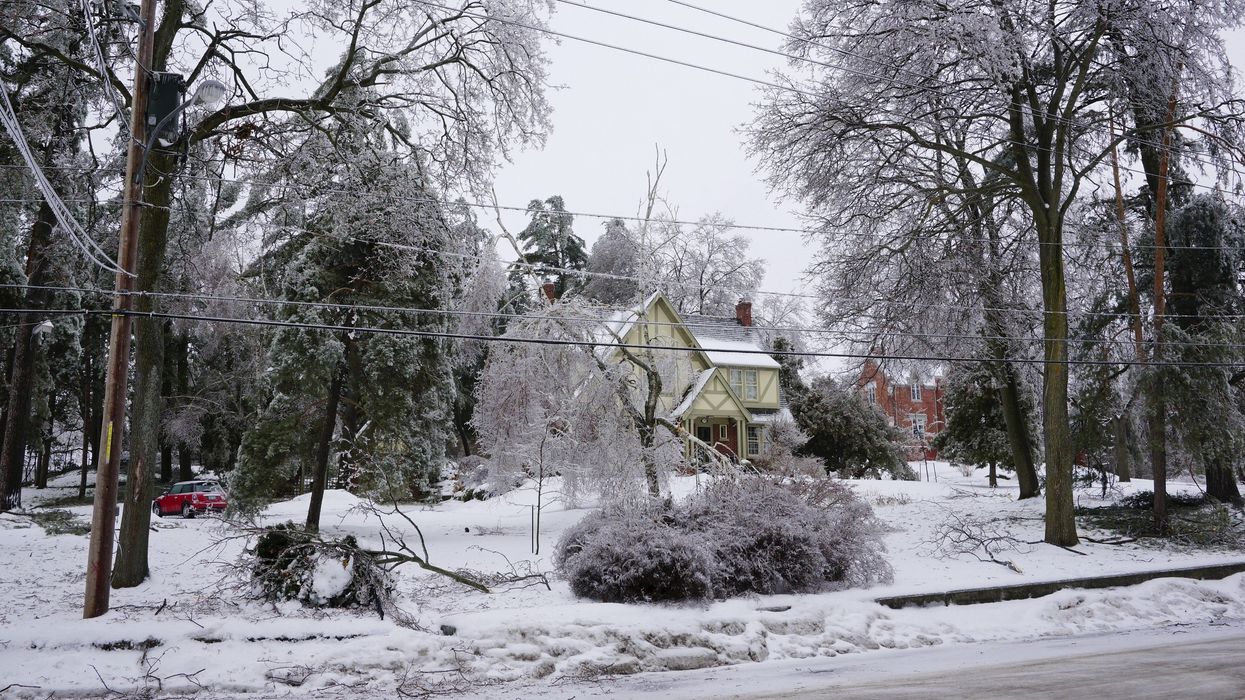
Ice-covered trees and road in Ontario.
Ontario's weather is expected to be impacted by an ice storm this weekend.
The storm is bringing freezing rain, ice pellets, snow and rain across most of the province.
A forecast from The Weather Network revealed that a messy system with "significant, widespread freezing rain" will start on Friday, March 28 and continue through Monday, March 31.
This long-duration ice storm could make travel dangerous and cause power outages.
With this system, there is an icy boundary that separates snowfall from rainfall.
That icy boundary — which includes freezing rain and ice pellets — will be shifting north and south throughout the weekend.
According to The Weather Network, there could be "significant ice buildup" on roads, sidewalks, and power lines.
If you're in Toronto, the GTA and Hamilton, you should expect the storm to start with freezing rain at night on Friday. Icy conditions will change to rain on Saturday.
Then, Sunday and Monday will both start with freezing rain before the precipitation switches over to rain as temperatures rise during the day.
Places near the lakeshore aren't as likely to get freezing rain.
If you're south of the GTA, you should expect mostly rain throughout the weekend.
If you're north of the GTA, there is a higher risk of prolonged freezing rain. There could be five to more than 10 hours of icy weather before the storm ends on Monday.
Places further north will get snow on Friday and into Saturday before freezing rain and ice pellets move in. There will be a short break from the icy weather on Sunday morning, but more freezing rain and ice pellets are expected by the afternoon.
The Weather Network forecast 10 to more than 20 hours of ice, especially in cottage country, Algonquin, Bancroft, and the surrounding areas.
If you're in these places, you should prepare for the biggest impacts to travel and power.
Since northeastern Ontario is on the northern edge of this system, it will be a spring snowstorm with 20 cm to 30 cm of snow falling by Monday.
This article's cover image was used for illustrative purposes only.