A Hurricane Could Be Crashing Into Canada Right After Today's Mega Storm Hits
Batten down the hatches! Due to the remnants of Hurricane Sally, Canada is in for heavy rainfall on the east coast and parts of Newfoundland could see more than 100 millimetres come down. If that's not bad enough, Hurricane Teddy could make landfall in the Maritimes next week.
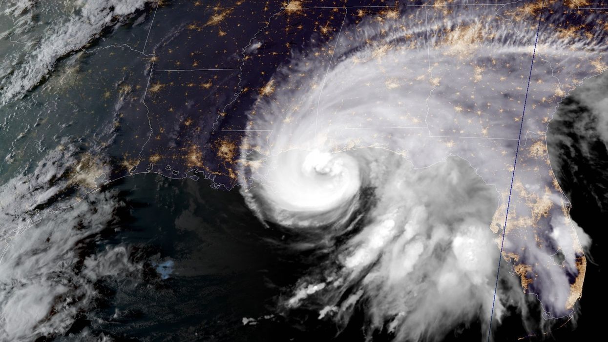
Sally is now a tropical depression but it still packs quite a punch and Atlantic Canada will be experiencing that first hand.
Remnants of the storm are moving through the region on Friday and into Saturday.
That moisture is expected to bring more than 100 millimetres of rain to parts of eastern Newfoundland with nearby areas getting 30 to 60 millimetres.
There will also be strong winds because of the storm with gusts reaching over 100 km/h for the Avalon Peninsula in the morning on Saturday.
Newfoundland will get the brunt of the rain and wind as Sally moves through the region.
Nova Scotia's Cape Breton Island could get 20 to 30 millimetres.
While the rain starts Friday afternoon in those two provinces, the heaviest downpours will impact central and eastern Newfoundland in the evening and overnight.
Environment Canada has put rainfall warnings in place for where the weather will be the most extreme.
People are being advised to check before they travel in those areas because flash flooding could happen and roads could even be washed away.
As if major rainfall and possible flooding aren't enough, Atlantic Canada could be in for another storm just a couple of days after this one.
As of September 18, forecast models from Environment Canada and the Canadian Hurricane Centre show Hurricane Teddy making direct landfall in Nova Scotia.
The major storm is currently on its way to Bermuda and will likely track straight north after that.
It could reach Canada on September 23.
Environment Canada said that the Canadian Hurricane Centre will be issuing statements for Teddy over the weekend.
If you're in the Atlantic provinces and specifically, Nova Scotia, this is definitely something to keep an eye on!
According to The Weather Network, tropical activity doesn't really ramp up for Atlantic Canada until September.
That can continue on through October.