Parts Of Ontario Are Getting Hit With Thunderstorms Every Single Day This Week
You might want to cancel your plans.
Dust off your favourite board games or books, because southern Ontario's weather forecast is calling for an entire week of stormy days and it's going to get real soggy.
According to The Weather Network (TWN), a wave of sticky humidity and thunderstorms will hit southern parts of the province all week.
Daytime temperatures will reach as high as 35 C in Toronto by Tuesday, bringing maximum mugginess to the GTA, Hamilton, London and Ottawa.
"Given the instability in place at the surface and the deep reservoir of moisture filling the skies above, heavy showers and thunderstorms are possible in southern Ontario each day this week," a report from TWN reads.
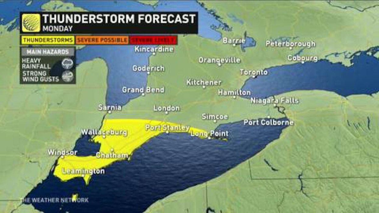
A low risk of passing showers will hit areas like Windsor and Port Stanley on Monday before more threatening storms move in for the rest of the week in areas around the GTA.
According to the Toronto weather forecast, the city can expect five to 10 millimetres on Tuesday and two to four millimetres on Friday, with lighter storms forecasted for Wednesday and Thursday.
Thankfully, the heavier downpours are expected to let up by the weekend. However, there is still a risk of rain and thunderstorms, so I wouldn't start planning any camping trips.