Ottawa's Weather Is Under Severe Storm Watch & There's A 'Likely Tornado' Threat
One councillor says to have emergency kits ready.
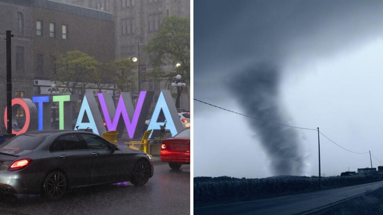
Ottawa sign in the rain. Right: Tornado.
Brace yourselves, Ottawa! The city could see some serious severe thunderstorms and even a possible tornado by Thursday afternoon, according to weather experts.
At 1:30 p.m. on June 15, Western University's Northern Tornadoes Project announced that the weather conditions in Ontario and Quebec could create a "likely tornado threat" on June 16.
In a map posted to Twitter, an orange "likely tornado" warning area can be seen directly covering Ottawa, Algonquin Park and parts of western Quebec. "Thunderstorms are expected to develop ahead of the surface low," reads the warning, adding that any storms that happen in this kind of environment "will likely be tornadic."
Other meteorologists are also warning folks to stay alert for severe thunderstorms.
The Weather Network noted that warm temperatures rising into the atmosphere, followed by a cold front, will likely trigger severe thunderstorms in eastern Ontario and southern Quebec by Thursday afternoon.
Anyone in the area can likely expect "strong winds, large hail, torrential rain" and the risk of a tornado.
Ottawa City Councillor Carol Anne Meehan told people to consider preparing their emergency kits ahead of the looming storm. Per the Red Cross, these kinds of kits should include drinking water, food, cash, a portable radio and anything your family absolutely needs (like medical prescriptions).
Environment Canada (EC) forecasted that temperatures could reach a high of 30 C Thursday with a 60% chance of thunderstorms or showers. They also call for winds to hit up to 50 km/h this afternoon.
The blustering weather is expected to carry on until Friday, according to EC, with winds potentially reaching up to 60 km/h later in the afternoon. There is some hope for the weekend, as the weather forecasts it will be sunny with a high of 23 C on Sunday.
On Saturday, May 21, Ontario was devastated by a derecho storm that swept across the province. The Northern Tornadoes Project said that Ottawa saw downbursts classified as EF2 on the Enhanced Fujita scale.
This article's right-hand cover image was used for illustrative purposes only.