Parts of southern Ontario are under weather advisories as snow squalls threaten 30 to 50 cm
"Travel may be hazardous, and some routes may be impassable."
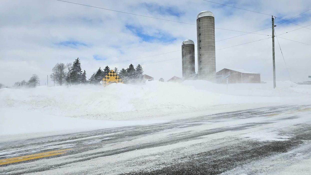
Snow along a road in Ontario.
Parts of southern Ontario are under weather advisories because of lake-effect snow.
Travel could be "hazardous" as snow squalls bring 30 to 50 centimetres.
Environment Canada has issued alerts for most of southern Ontario for Thursday, November 27 and Friday, November 28.
Ontario's weather is set to be impacted by lake-effect snow off Lake Huron and Georgian Bay.
It will start on Wednesday night and "intensify" into snow squalls by Thursday morning.
"Snow squalls will shift throughout the day on Thursday before locking in place Thursday night," Environment Canada said in the alert.
Total snowfall amounts of 30 to 50 centimetres are forecast, with the heaviest snow expected from Thursday night to Friday night.
Near-zero visibility is expected at times because of heavy snow and blowing snow.
"Travel may be hazardous, and some routes may be impassable," Environment Canada said.
Road closures and "prolonged disruptions" to transportation, services, and utilities are possible.
This alert is for Saugeen Shores, Kincardine, Mount Forest, Goderich, Stratford, Barrie, Collingwood, Orillia, Innisfil, New Tecumseth, Angus, Newmarket, Georgina, Uxbridge, Beaverton, and nearby areas.
Other parts of southern Ontario could get 15 to 30 centimetres of snow from the squalls.
"Prepare for the possibility of quickly changing and deteriorating travel conditions," Environment Canada said.
This alert is for Owen Sound, Blue Mountain, Sauble Beach, Tobermory, Orangeville, Shelburne, Guelph, Erin, Kitchener, Cambridge, Waterloo, Brantford, Woodstock and nearby areas.
A special weather statement has also been issued across southern Ontario because of winds gusting 70 to 80 kilometres an hour.
"Lake effect snow may move through the area Thursday afternoon and evening," Environment Canada said.
Even though snowfall totals aren't expected to be significant, visibility could be reduced due to blowing snow.
Toronto, Brampton, Mississauga, Caledon, Milton, Oakville, Burlington, Vaughan, Markham, Pickering, Ajax, Whitby, Oshawa, Hamilton, St. Catharines, London and nearby areas are included in the special weather statement.
This article's cover image was used for illustrative purposes only.