Ontario's weather will be well into the 30s this week and there's a chance of a tornado
Here's what you need to know. 🌪️
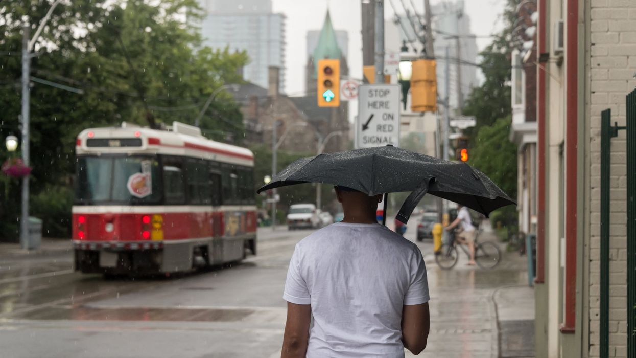
A person holding a umbrella as it rains in Toronto.
Grab your fans and umbrellas, folks, as Ontario's weather is about to get hectic with some seriously muggy air that'll create conditions favourable for thunderstorms.
"A warm, humid air mass parked over Ontario this week will send temperatures into the upper 20s, with plenty of towns pushing the 30-degree mark for the first time this season," says The Weather Network. "Humidex values will push well into the 30s, especially across the southwest and away from the lakes."
A round of thunderstorms is expected in Ontario on Tuesday that could produce torrential rains and localized flooding until the afternoon.
"There is a chance some of the storms could reach severe criteria in parts of cottage country and across eastern Ontario," says TWN. "These areas could see large hail, strong winds up to 90 km/h, and heavy downpours, given the amount of moisture storms will be able to tap into."
"A special weather statement is in effect over extreme southwestern Ontario," says @ECCCWeatherON. "Hot and humid conditions are expected with temperatures up to 31°C today."
Later on Tuesday, another round of storms could hit overnight but will lessen in strength as the temps cool down, but it's not a sign of good news for Wednesday.
"Temperatures in the upper 20s with high humidex values, in conjunction with a cold-front moving in from the states and low pressure over Lake Superior, will support the risk for strong and severe thunderstorms across southern Ontario and Quebec on Wednesday," explains the weather agency.
The stormy conditions could last into Wednesday evening, with threats of large hail, heavy rainfall and strong winds being the primary concerns for folks to watch out for.
"As storms roll in off of Georgian Bay on Wednesday afternoon, there is a chance folks in and east of cottage country could see a tornado," says TWN. "Rest assured, though, as forecasters are keeping a close eye on this risk throughout the day."
Stay safe out there, folks!
This article's cover image was used for illustrative purposes only.
- 8 American fast food joints that we seriously need in Toronto ASAP ›
- I grew up in the GTA and these are the hidden gem restaurants we don't want you to know about ›
- 9 of the best all-you-can-eat sushi spots in Toronto and the GTA that'll fill up your belly ›
- A tornado warning has been issued for parts of Ontario as severe weather rolls in - Narcity ›