Southern Ontario is getting snow this weekend with 'lake enhancement and squalls'
Around 5 to 15 cm on snow is expected for parts of Ontario — including Toronto. ❄️
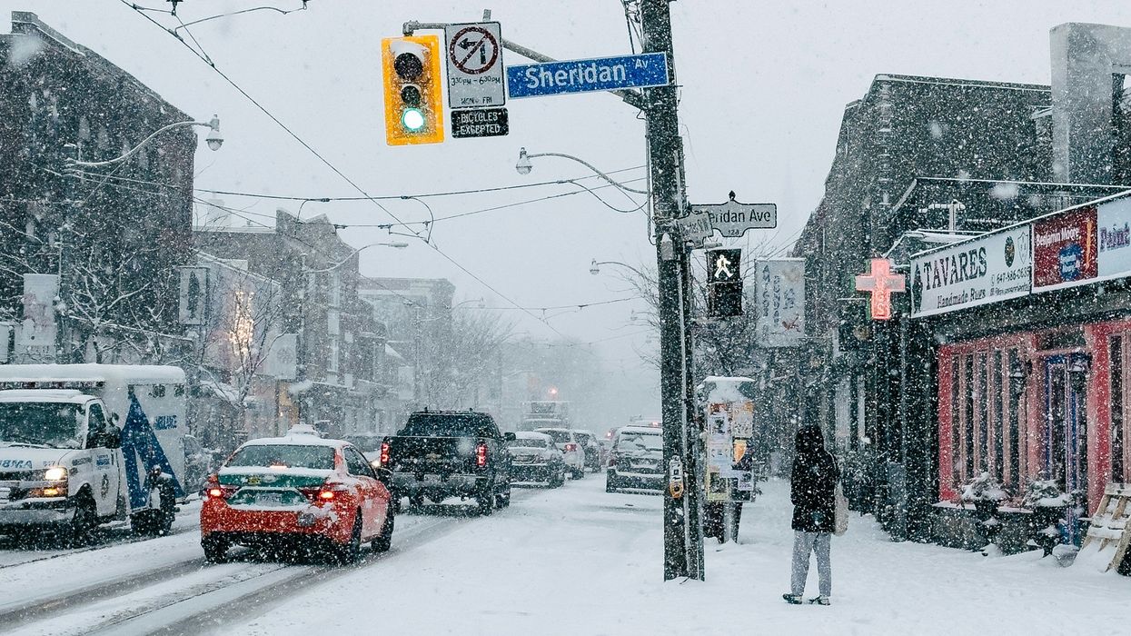
Person on a sidewalk in Toronto as it snows.
A new forecast for Ontario's weather calls for up to 15 cm of snow this weekend.
Even though Toronto probably won't be impacted by lake-effect squalls, snow is on the way for the city too!
The Weather Network has forecast that it'll be a snowy start and end to the weekend in southern parts of the province, plus "additional accumulations with lake enhancement and squalls."
Friday, January 10 is expected to start with sunshine but then take a wintry turn as light snow moves across southern Ontario during the late afternoon and evening.
While there will be a break from the cold temperatures, "widespread light snow" is set to continue through Friday night.
Snow could linger into the morning on Saturday, January 11 for Toronto and the GTA.
Also, bands of lake effect snow will develop in snowbelt areas southeast of Lake Huron and Georgian Bay.
Through Saturday, there is expected to be three to five cm in Toronto, about five cm around the Golden Horseshoe, five to 10 cm through Kitchener and London, and 10 to 15 cm along Lake Huron.
Heading into next week, a storm system is expected to move into the region on Sunday night and into Monday.
That will cause light snow for southern Ontario with lake-effect snow off Lake Huron and Georgian Bay.
Tuesday, January 13 will be windy with flurries for most of southern Ontario but "narrow bands of much heavier lake effect snow" will impact towns and cities southeast of Georgian Bay and Lake Huron, according to The Weather Network.