Multiple Snowfall Warnings Issued For BC With As Much As 30 cm Possible In Some Areas
A major storm moving in will make for dangerous travel conditions. ❄️
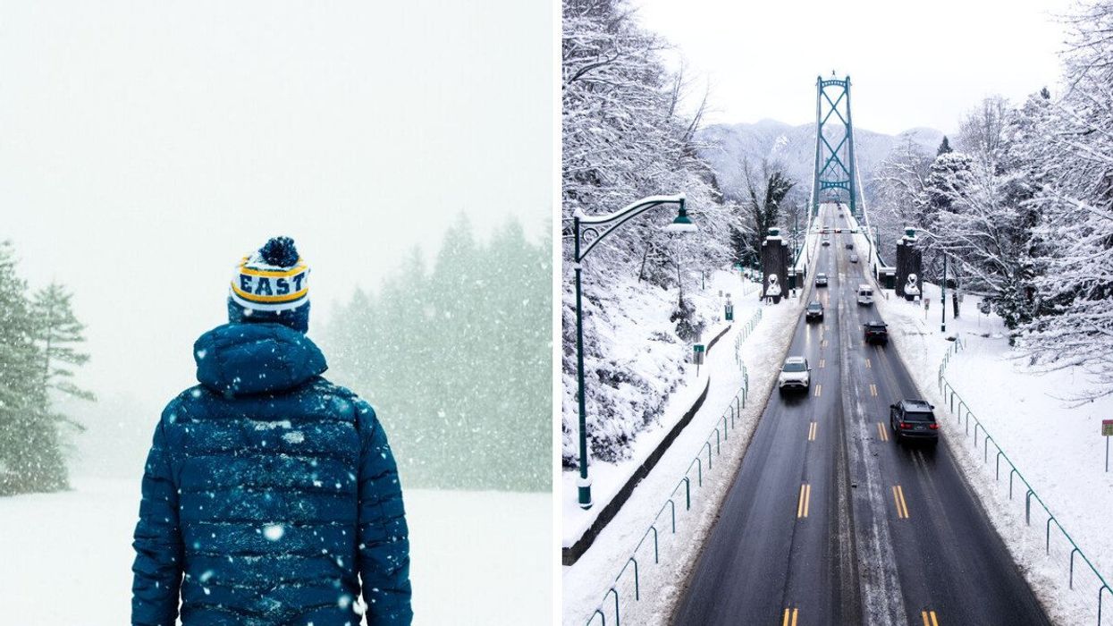
A person stands outside as snow falls. Right: Vancouver's Lion's Gate Bridge covered in snow.
Most of British Columbia is under a snowfall warning as a major snowstorm takes aim at the province's south coast.
An incoming low-pressure system moving in on Tuesday is set to bring in 20 centimetres of snow to some of the hardest-hit areas, including Vancouver.
With the weather set to create some dangerous travel conditions and some areas possibly seeing up to 30 centimetres of snowfall, here's what you need to know about the storm.
Why you should care: The snowstorm could drop anywhere between 5 and 30 centimetres of snow across B.C.'s South Coast through Wednesday, according to The Weather Network.
Things will start on Tuesday evening, with conditions deteriorating Tuesday overnight and into Wednesday morning.
Dangerous travel is likely as the snow picks up later Tuesday, and drivers are being urged to prepare to adapt to the changing conditions. Things won't be much better on Wednesday, with conditions set to be snowy and slippery.
What they’re saying: "Visibility may be suddenly reduced at times in heavy snow. Surfaces such as highways, roads, walkways and parking lots may become difficult to navigate due to accumulating snow.
"Be prepared to adjust your driving with changing road conditions," says Environment Canada's snowfall warning.
The warnings have been issued for most of the province, including the B.C. Peace River, East Kootenay, East Vancouver Island, Fraser Canyon, Greater Victoria, Metro Vancouver, the Okanagan Valley and the Sunshine Coast.
By Wednesday, Vancouver is set to see up to 20 centimetres of snow, while areas like Hope and Chilliwack could get up to 30 centimetres.
In addition to the snow, there is also a risk of freezing rain Tuesday night in southern sections near the U.S. border, according to Environment Canada.
ICYMI: The wintry weather comes after Western Canada faced a deep freeze thanks to a blast of Arctic air from the polar vortex that sent temperatures plummeting.
Wind chill readings at Vancouver International Airport on Friday hit -24 C, the coldest temperature since December 29, 1968, according to TWN.
On the extreme side of things, the municipality of Sparwood saw temperatures dip below -40 C, the coldest temperature ever recorded at the weather station.
What comes next: Unfortunately, it doesn't look like conditions will improve much after this storm, with another system set to hit the province Thursday into Friday, possibly bringing in more snow with it.
This article's cover image was used for illustrative purposes only.