A new winter forecast says these places will get frigid temps, blizzards, icy weather and more
Canada's weather is abruptly transitioning to winter! 🥶
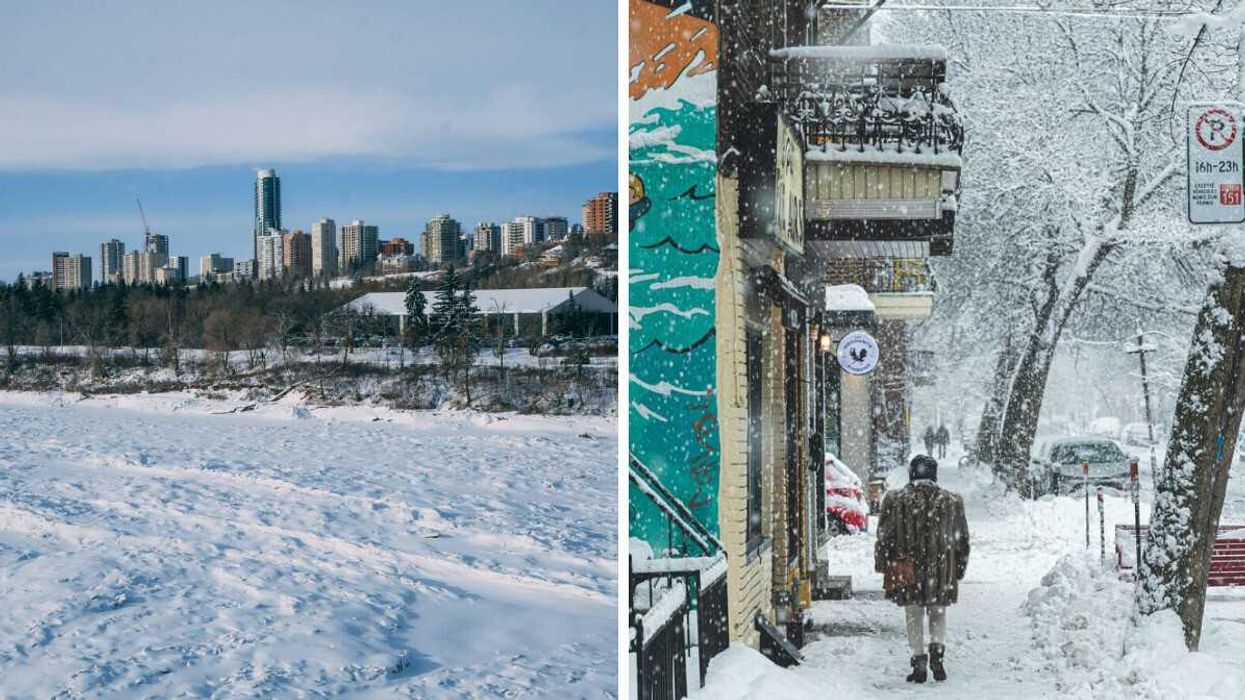
Edmonton skyline during winter. Right: Person in Montreal during a snowstorm.
A new winter forecast said a classic Canadian season is on the way for parts of the country.
Canada's weather is expected to include frigid temperatures, blizzards, icy conditions, and more!
On November 26, The Weather Network released Canada's winter forecast that breaks down what the season will be like across the country.
An "abrupt transition to winter" is currently underway as arctic air spreads throughout Canada.
Because of the polar vortex, progressively colder shots of arctic air are expected through December and into January, especially from the Rockies to the Maritimes.
That means it will be a colder start to winter than what's been the norm in recent years.
According to The Weather Network, a combination of the polar vortex and La Niña is expected to lead to a classic Canadian winter in most of the country.
So, here's what the weather is forecast to be like this winter in every province and territory.
BC
B.C.'s weather this winter is forecast to be cold across eastern parts of the province with a risk of "severe cold."
Temperatures in coastal areas, including Vancouver and Victoria, will be close to normal, but there is a risk for shots of chilly arctic air.
An inconsistent storm track into the B.C. coast will lead to stretches of dry weather interspersed with active periods.
Those stormy stretches should offset the dry spells, bringing precipitation and snow totals closer to normal for most of the province.
But the Kootenays and Rockies will get above normal snowfall, while the north coast is forecast to be drier than normal.
Also, the risk for Pineapple Express events that bring heavy rain to B.C.'s alpine regions is lower than normal.
Alberta
A "very cold" winter is forecast for Alberta.
Despite a few reprieves from the frigid pattern because of Chinook winds, colder-than-normal temperatures are expected to dominate across the province.
When it comes to snow, above normal snowfall totals are expected in southern Alberta, including Calgary.
Near-normal snowfall is forecast in the central and northern parts of the province, including Edmonton. That includes the threat of blizzard conditions at times.
Saskatchewan and Manitoba
A frigid winter is expected across Saskatchewan and Manitoba.
Even though the pattern will relax at times, colder-than-normal temperatures will dominate.
There is "a heightened risk" for extended stretches of severe cold in these provinces.
Near-normal snowfall is expected across most parts of Saskatchewan and Manitoba, with threats of blizzard conditions at times.
But above-normal snow totals are forecast for southwestern Saskatchewan.
It's expected that colder-than-normal temperatures will linger into March across this region, according to The Weather Network.
That means there will be a delayed transition from winter to spring.
Ontario
Ontario's weather is forecast to be cold and wintry to start the season, especially leading up to and through the holidays.
That includes "an abundance of lake-effect snow" in the traditional snowbelt region near Lake Huron and Georgian Bay.
Colder-than-normal temperatures are expected to continue across the province into January.
But the pattern could be more changeable during the second half of winter, especially across southern Ontario from Windsor to Ottawa.
There is the potential for an extended period of milder weather.
An active storm track is expected to bring near-normal or above-normal snowfall to Ontario this winter.
But southern parts of the province, including London and Toronto, will get "messy storms" with ice and rain, especially during the second half of winter.
Quebec
There will be a cold start to the season in December with wintry conditions leading up to and during the holidays, including in Montreal.
Colder-than-normal temperatures in Quebec are expected to persist into January.
But the pattern could be more changeable during the second half of the season with the potential for a stretch of milder weather.
When it comes to snow, an active storm track is expected to bring near-normal or above-normal snowfall to Quebec.
Southern parts of the province could get "messy storms" with a risk for ice and rain, especially during the second half of winter.
Nova Scotia, New Brunswick, and PEI
A changeable winter season is expected across Nova Scotia, New Brunswick, and P.E.I.
There will be stretches of "very cold" temperatures leading up to and during the holidays.
But that will be offset by periods of milder weather.
Southern parts of Nova Scotia, including Halifax, are most likely to get above-normal temperatures, especially in January and February.
Near-normal precipitation is expected, including "high-impact winter storms" that could cause blizzard conditions.
But below-normal snow totals are in the forecast for Nova Scotia because storms will bring ice and rain, not just snow.
Newfoundland & Labrador
Winter is expected to be changeable across the province with stretches of "very cold" temperatures at the beginning of the season and milder weather in January and February.
Near-normal precipitation is in the forecast, including "a few high-impact winter storms" with the risk of blizzard conditions.
But below-normal snow totals are expected across eastern Newfoundland, including St. John's, because storms will also bring ice and rain.
Yukon, Northwest Territories and Nunavut
There will be near-normal temperatures across Yukon and the Northwest Territories.
But much of Nunavut will get above-normal temperatures with less severe cold than usual during winter.
When it comes to snow, near-normal amounts are expected in most parts of the territories except for the southern parts of Yukon.
There is a risk of blizzard conditions.
This article's cover image was used for illustrative purposes only.