Ontario's Weather Forecast Calls For 'Severe' Conditions With Thunderstorms & Freezing Rain
Temperatures could also get up to 20 degrees.
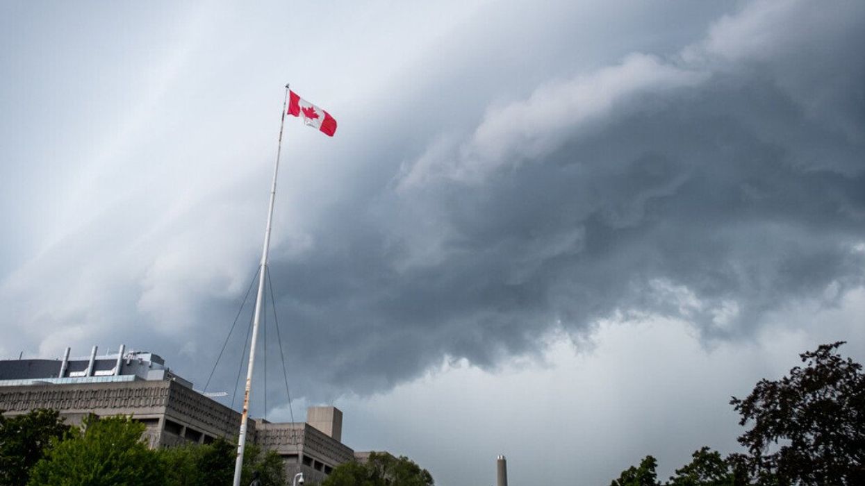
A thunderstorm rolling into Toronto, Ontario.
Parts of the province are set for a wild and wacky spring storm on Wednesday, with Ontario's weather forecast calling for everything from rain and thunderstorms with some of the warmest temperatures of the year so far to winterlike conditions and freezing rain.
Environment Canada has issued weather alerts across much of the province, with special weather statements, rainfall and freezing rain warnings, and even winter storm warnings all in place.
The Weather Network (TWN) has said this latest storm threat is the result of a "potent Colorado low" that will bring drastically different weather conditions to various parts of the province.
Colder temperatures in northern Ontario have places like Thunder Bay under a winter storm warning with up to 25 centimetres of snow and ice pellets expected, with between 2 and 4 centimetres expected per hour during the strongest part of the storm.
Moving south a bit, in places like Sudbury, freezing rain warnings are in place with up to 5 millimetres of ice accretion forecast on Wednesday.
Then, into southern and eastern Ontario is where conditions are much more of a mixed bag.
Cities like London, Hamilton and Toronto managed to skip out on any weather alerts early Wednesday, but with rain in the forecast, temperatures are expected to reach the highest we've seen so far this spring.
"A potent low will bring heavy rain, blustery wind gusts, much warmer temperatures and a threat for severe storms Wednesday," reads the forecast from TWN. "In some areas in the southwest, there's a good chance to reach Canada's first 20°C temperature in 2023."
TWN said Windsor has the best chance of reaching 20 degrees on Wednesday.
Those spring-like temperatures mixed with stormy conditions could create a recipe for dangerous conditions, with "an isolated tornado risk in extreme southwestern Ontario," according to TWN.
Environment Canada has issued a tornado watch for the region, including possible wind gusts of up to 100 km/h and "hail up to ping pong ball size."
From those warm temperatures in southwest Ontario over to Ottawa, warmth will carry over just enough to turn freezing rain into rain by Wednesday afternoon.
Ottawa's freezing rain warning forecasts between 10 to 15 millimetres with the possibility of power outages and trees being damaged.
As this weather system moves east and away from Ontario, the rain and stormy conditions are set to move out of the province by Thursday morning, paving the way for what looks to be a typically nice spring Easter long weekend.