A Spring Snowstorm Is Bringing Blizzard Conditions & 30 cm Of Snow To Some Provinces
It could be "impossible" to drive over the next few days during this storm.
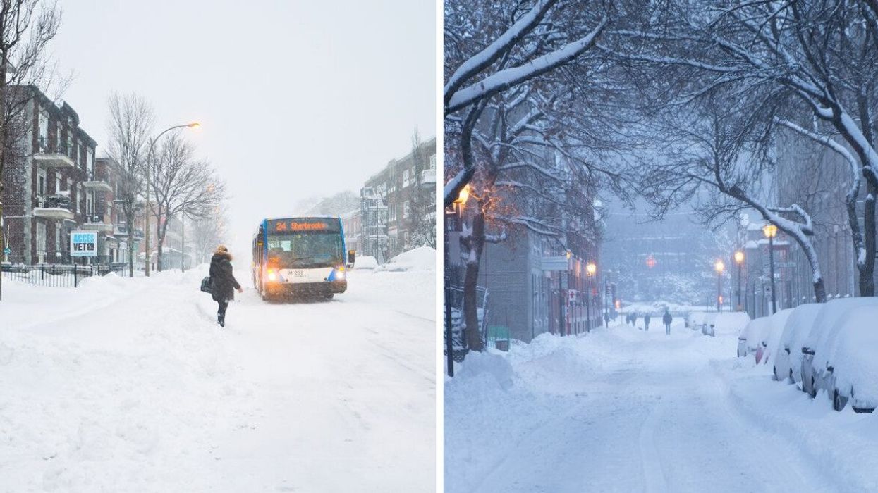
Someone waits for a bus during a snowstorm. Right: Snow-covered trees and cars.
It's spring, but that doesn't mean winter weather in Canada is over just yet!
There is a snowstorm on the way that's bringing blizzard conditions and 30 centimetres of snow to places in a couple of provinces.
According to a new forecast from The Weather Network, parts of Manitoba and Ontario will be dealing with "a spectrum of disruptive, wintry weather conditions" from Tuesday through to Thursday.
The weather system is expected to spread significant snow and strong winds that could lead to blizzard conditions across southern Manitoba and northern Ontario.
Since the storm has a lot of moisture and is bumping into a pocket of cold air over northern Ontario, The Weather Network said this will cause "plenty" of snow.
It's forecast that the heaviest bands of snow will linger over some areas for hours, and there's the potential for up to 30 centimetres in some spots.
The Weather Network also said that strong winds will lead to blizzard conditions and reduced visibility, especially in southern Manitoba.
Areas of highways 11 and 17 between Winnipeg and Thunder Bay are expected to be "extremely tough, if not impossible," to navigate during the storm, and The Weather Network is warning of possible road closures.
Environment Canada has issued winter storm warnings for parts of southeastern Manitoba and northwestern Ontario.
"Visibility may be suddenly reduced at times in heavy snow," the warning for Manitoba said. "Consider postponing non-essential travel until conditions improve. Prepare for quickly changing and deteriorating travel conditions."
In the warning for parts of Ontario, Environment Canada said roads and sidewalks could be "difficult to navigate," travel could be challenging and visibility could be "suddenly reduced" because of heavy snow.
If you thought wintry weather was in the rearview, that's not the case and the spring warm-up is expected to be delayed.
Canada's spring forecast that was released by The Weather Network predicted "a sluggish start" to the season as cold, snowy and icy winter conditions linger.
The Farmers' Almanac has predicted a "turbulent transition to warmth" that includes a slow warm-up in April and a lot of stormy weather.
This article's cover image was used for illustrative purposes only.
- A Comedian Threw Shade At Canada's Spring Season & It's Hilariously Accurate (VIDEO) ›
- Canada's New Spring Forecast Calls For More Winter Weather Before The Season Heats Up ›
- Ontario Got Hit By An Intense Snowstorm & There Was Even Thundersnow (PHOTOS & VIDEOS) ›
- Ontario's Weather Forecast Calls For 'Severe' Conditions With Thunderstorms & Freezing Rain - Narcity ›