Ontario's weather could see as much as 20 cm of snow as we head into spring this week
Don't put away your boots just yet.
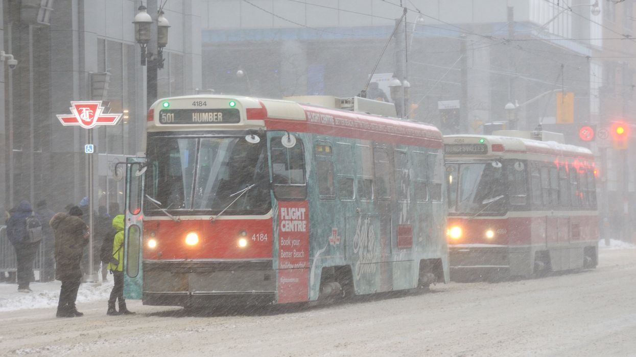
A snowy day in Toronto.
Spring may be just around the corner, but Ontario's weather is still firmly hanging onto winter for the rest of this week.
Snow is expected for much of the province, and depending on where you live, it could be more than just a dusting of the white stuff.
"The vernal equinox will arrive on Tuesday to find Ontarians wearing their winter coats," says The Weather Network. "Bands of heavy snow may lead to travel impacts across southern Ontario at times over the next couple of days."
Southern Ontario saw snow over the weekend, which continues into Monday in "widespread bursts." There will also be snow southeast of Lake Huron and Georgian Bay and some precipitation in the east part of the province.
"Drivers could encounter brief periods of reduced visibility through the early morning hours as snow showers move through cottage country and nearby areas," notes the agency.
For Tuesday — which is the first day of spring — the risk of snow continues with lake-effect snow possible for the snow belts like Owen Sound and bursts of flurries through southern Ontario and the GTA.
"We’re looking at widespread snowfall totals of 5-10 cm downwind of Lake Huron and Georgian Bay by Wednesday morning," says TWN. "Communities around Kincardine and Parry Sound are on track for snowfall totals of 15-20 cm, with locally higher totals possible."
Stay safe, and be mindful when on the roads!
This article's cover image was used for illustrative purposes only.