Ontario's Long Weekend Forecast: Up To 25 cm Of Snow Predicted & Dangerous Driving Conditions
"Drivers are urged to plan ahead, and to be prepared to adapt to the rapidly changing conditions."
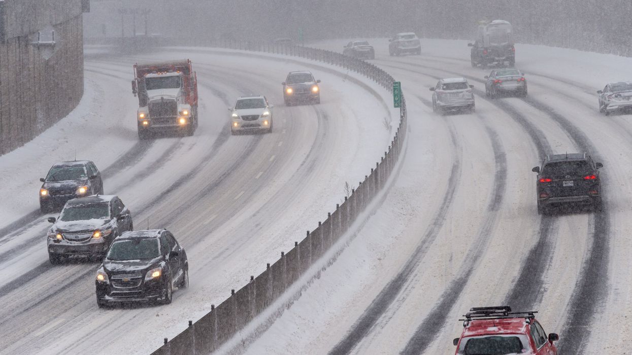
Cars driving on a snowy highway.
Much of the province has a long weekend coming up, but the weather in Ontario might make it hard to enjoy the extra day off.
Starting from Friday, February 16, "blustery northwest winds" will keep temperatures below freezing for southern Ontario throughout the weekend, according to The Weather Network, so make sure to layer up.
Lake-effect snow is also expected as we start the weekend, and it could be a doozy.
"As is usually the case with squalls, snowfall totals will vary over a short distance, and will range from just a dusting to upwards of 25 cm through Saturday," says TWN.
From Saturday into Sunday, the snow will continue with the northern GTA likely seeing less than 5 cm and less than 2 cm in Toronto. Kingston to Brockville could see 5-10 cm of snow, and 5-10 cm is also expected around Lake Huron. For Georgian Bay, that region is looking at 5-15 cm around Gravenhurst, Brace Bridge and Parry Sound.
"Conditions can change rapidly over short distances around snow squalls, with calm conditions giving way to heavy snow and dangerously low visibility in a matter of metres," warns the weather agency. "Drivers are urged to plan ahead, and to be prepared to adapt to the rapidly changing conditions."
Monday will be the best day of the long weekend to enjoy the outdoors as it should have the calmest weather and best driving conditions, and you'll want to make sure you have some sun protection as the reflection off of the snow could be quite intense.
Ontario has seen quite a bit of snow in the middle of February, with a "snow machine" hitting the southern part of the province earlier this week and leading to a messy commute. Maybe Wiarton Willie got it wrong and winter will be sticking around for a bit longer!
This article's cover image was used for illustrative purposes only.