So long, sunshine! Ontario's weather forecast is predicting a messy start to the week thanks to a widespread thunderstorm risk sweeping across the province, but that's not even the worst part.
The Weather Network reports that while regions like the GTA will have to push through a stormy Monday morning, eastern Ontarians will face much more severe weather ahead of an approaching cold front.

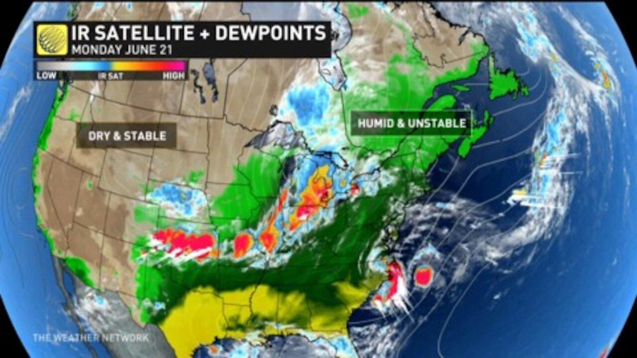
"This set-up has all the makings of a severe weather day with lots of energy in the atmosphere," Matt Grinter, TWN meteorologist, states. "These storms have the potential to bring all risks of severe weather from strong wind gusts, heavy rain, large hail, and even the risk of a tornado."
As a result, residents who live within risk zones, which include Ottawa, are being encouraged to monitor the storm and check for any watches or warnings that may be issued.
Thankfully, the stormy conditions will clear up by Tuesday morning. However, daytime temperatures will also only peak in the mid-teens.