Ontario's weather forecast is pressing pause on spring with snow this week (again)
Spring was fun, while it lasted! 😞
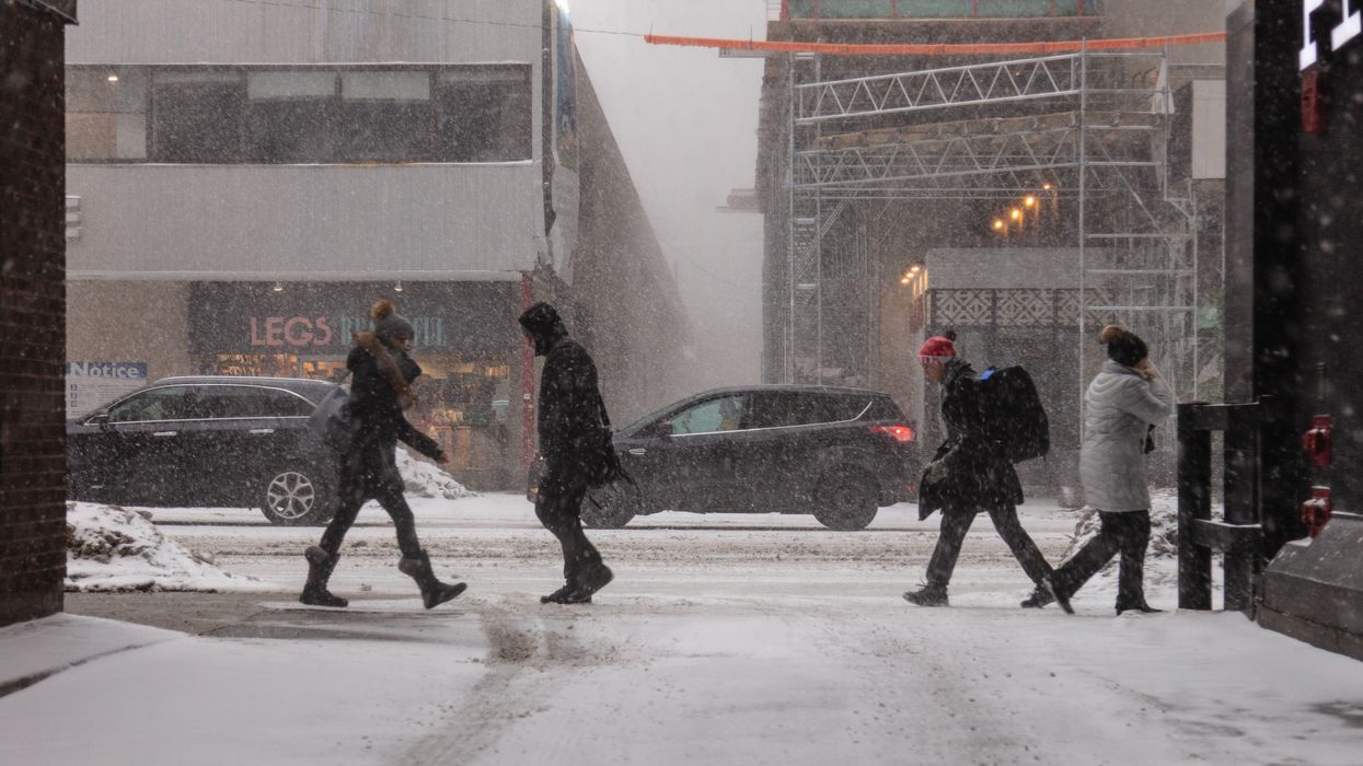
People walking through the street during a snowstorm in Toronto.
Ontario's weather allowed us to bask in the spring vibes this past weekend, but unfortunately, winter's not done throwing shade just yet.
Southern Ontario is in for another round of chilly surprises this week — and yes, that includes more snow and some seriously gusty winds.
The Weather Network reports that things will kick off with a short warm-up on Monday, with climbing temperatures bringing in a few scattered showers. But don't get too comfortable — a blast of Arctic air is right behind it, ready to crash the party.
By Tuesday morning, colder air will be back in full force, sparking lake-effect snow near Lake Huron and Georgian Bay. That setup will stick around into Wednesday, so snow lovers (or haters) in those areas, consider yourselves warned.
Winds across the region will also pick up, with gusts hitting 50–60 km/h. Some spots along Lake Huron could endure with gusts closer to 70 km/h.
The snow isn't going to be wild across the board, but it'll be noticeable. The Niagara Escarpment region is expected to see the most accumulation at around 5 centimetres, while other regions will see closer to 2 centimetres.
Even the GTA might catch some flurries, though they won't hang around for long. Areas like Parry Sound could see 1–3 centimetres, with some spots pushing past 5 centimetres.
And while temps might try to bounce back later in the week, don't put away your winter coat just yet. Another round of Arctic air is on the way — and it's looking like the Easter long weekend will be colder than usual.
But hey, there's hope: the final week of April could bring a proper warm-up. So if you're over the snow, hang tight — sunnier days might be around the corner.
Meanwhile, Northern Ontario is expected to see heavy snowfall this week, with as much as 10-15 centimetres forecasted for areas along Highway 11 north of Lake Superior through Tuesday.
This article's cover image was used for illustrative purposes only.
AI tools may have been used to support the creation or distribution of this content; however, it has been carefully edited and fact-checked by a member of Narcity's Editorial team. For more information on our use of AI, please visit our Editorial Standards page.