Ontario Will Be Hit With 30 cm Of Snow This Weekend & Dangerous Travel Conditions
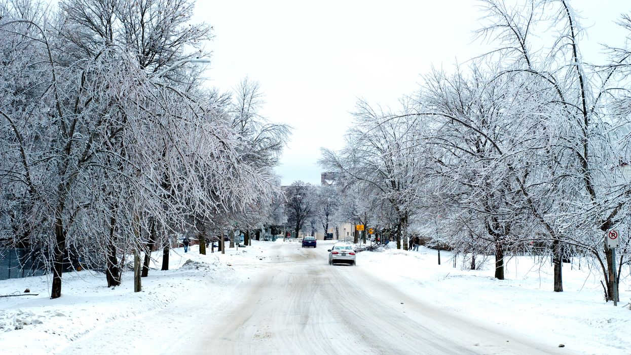
A series of dangerous snow squalls are expected to sweep over parts of the province this Friday.
According to The Weather Network, Ontario's weather forecast will see up to 30 centimetres of accumulation by the weekend.
Editor's Choice: The Polar Vortex Hitting Russia With The 'Coldest Air On Earth' Is Coming For Canada Next
Travel warnings have been issued in areas such as Orillia, Perth and Waterloo.
"Visibility will be suddenly reduced to near zero at times in heavy snow and blowing snow. Travel is expected to be hazardous due to reduced visibility in some locations," reads a statement from Environment Canada.
Grey-Bruce and Huron-Perth will see the most accumulation.
However, the GTA is still expected to get hit with a few flakes.
Temperatures will drop today, with the coldest air of the season hitting Ontario this weekend.
The city of Toronto is expected to dip as low as -10°C on Saturday evening.