Ontario Is About To Get Slammed With 20 cm Of Snow & Chaotic Driving Conditions
Drivers, bust out your snow tires. This week is about to get messy.
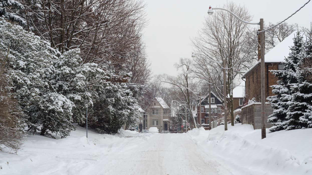
Ontario's weather forecast is bringing 10 to 20 centimetres of snow on Tuesday, according to The Weather Network
London, Kincardine and the Barrie area will reportedly receive the heaviest snowfall through Wednesday morning, causing poor driving conditions.
Editor's Choice: These Are The Cheapest Cities To Rent In If You're Done Being Broke In Toronto
Snow squalls cause weather conditions to vary considerably; changes from clear skies to heavy snow within just a few kilometres are common.
Environment Canada
Environment Canada has issued snow squall watches for areas along Lake Huron and Georgian Bay, warning of deteriorating conditions and difficult travel.
The Greater Toronto Area will largely avoid the lake-effect snow. However, quick bursts are possible.
Thankfully, the early winter weather won't last long.
Both the flurries and the powerful winds will begin to ease by Wednesday.
The GTA will even see a return to double-digit daytime highs by Thursday and Friday.