Ontario Is Getting Blasted With Up To 15 cm Of Snow & Dangerous Travel Conditions Tonight
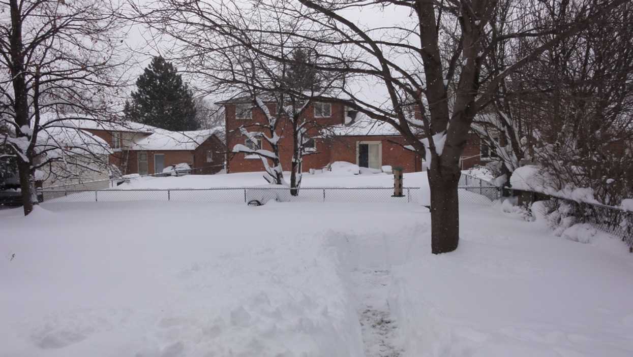
It looks like the sunshine is coming to an end. Ontario's weather forecast is now calling for snow on Friday evening.
According to Environment Canada, parts of the province could receive up to 15 centimetres of accumulation tonight, thanks to a series of squalls sweeping west of Highway 400.
Editor's Choice: Stay-At-Home Order Lifts In Toronto & Peel On Monday As Other Regions Move To New Zones
The conditions will reportedly make travel dangerous, with visibility being "suddenly reduced" at times.
Areas like Barrie, Orillia, Innisfil and Owen Sound are all currently under a snow squall watch.
"Travel may be hazardous due to sudden changes in the weather. Visibility may be suddenly reduced at times in heavy snow," reads the warning.
Areas closer to the GTA are only expected to get a light dusting of snow through Friday night and into Saturday.
However, the messy condition won't last long as spring-like temperatures settle back next week.
According to The Weather Network, both Tuesday and Wednesday will feel more like April weather, with some spots hitting double-digits.