A Winter Storm Is Coming To Canada & Some Provinces Could Experience 'Howling Blizzards'
Stay safe out there, Canada!
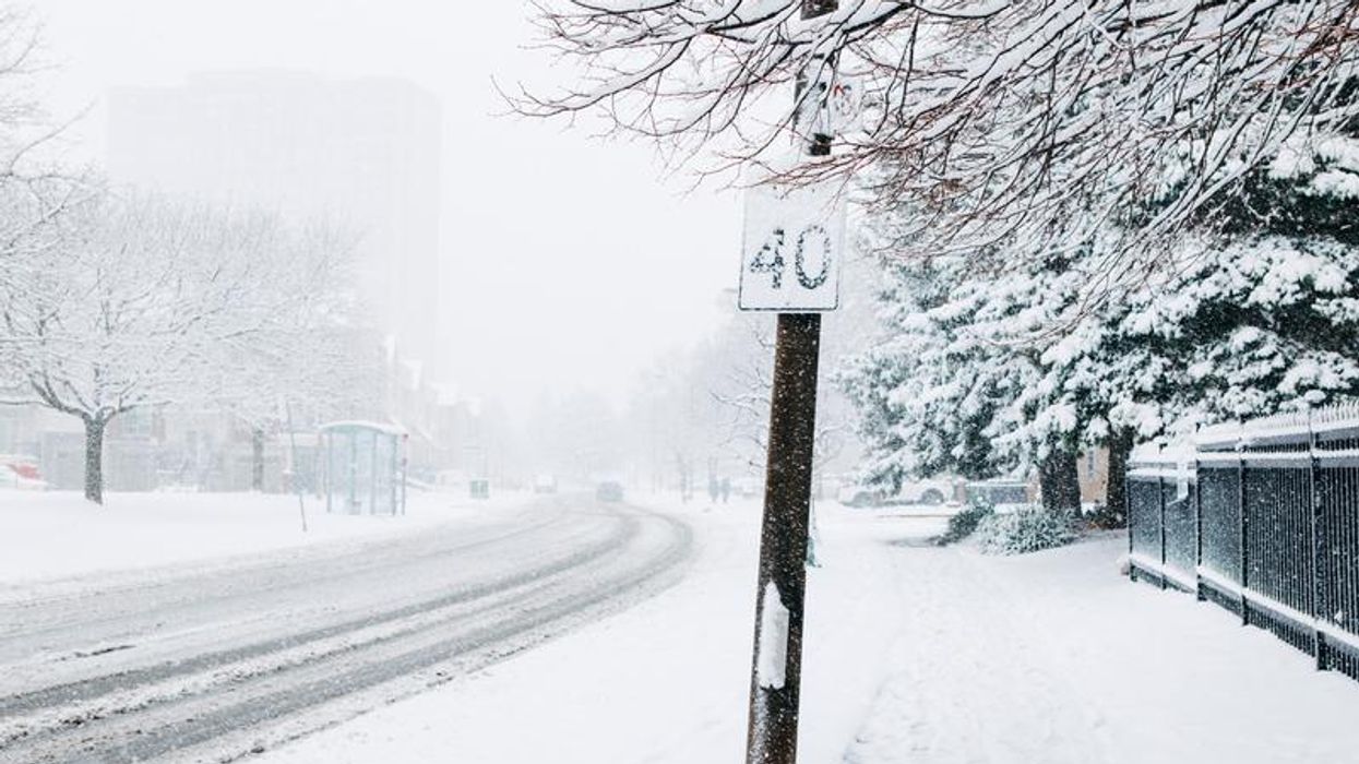
Poor visibility due to heavy snowfall.
It's going to feel like winter in Canada in parts of the country this week.
According to the latest winter weather forecast, a "mighty, 3,000 km-wide storm" will be hitting this week and it will be bringing with it "howling blizzards and twisters" to certain areas.
Announced by The Weather Network on Sunday, December 11, the impending storm is expected to stretch from the Prairies to the Gulf of Mexico.
The storm is set to bring snow to the Prairies, which could result in upwards of 20 centimetres of snow along, and south, of Highway 1.
The report suggests that the storm will extend blizzard conditions across parts of southeastern Saskatchewan and southern Manitoba.
According to meteorologist Kevin MacKay, the stormy conditions could get close to southern Ontario, with some weather models predicting more than 20 centimetres of snow in Ottawa and Toronto.
"It's going to be a very close call," he said.
The storm is expected to peak on Tuesday and Wednesday.
At the moment, Environment Canada has issued winter storm warnings in several areas.
This even includes parts of Nova Scotia like Antigonish County, Richmond County, Guysborough County and Victoria County.
Winter storm warnings have also been issued for South Klondike Highway in British Columbia and Whitehorse in Yukon.
Meanwhile, winter storm watches have been issued for Prince Edward Island's Kings County, Queens County and Prince County. According to the advisories, significant snowfall (20 centimetres or more) is expected, with "visibility reduced due to heavy snow"
Special weather statements and a winter storm watch have also been issued for New Brunswick, with significant snowfall of up to 15 centimetres and wind gusts reaching up to 80 kilometres per hour being called for.
Stay safe out there, Canada!
This article's cover image was used for illustrative purposes only.