Hurricane Fiona Could Be A 'Landmark Weather Event' & It's Set To Directly Hit Nova Scotia
Hurricane-force winds and more than 200 millimetres of rain are forecasted for some provinces.
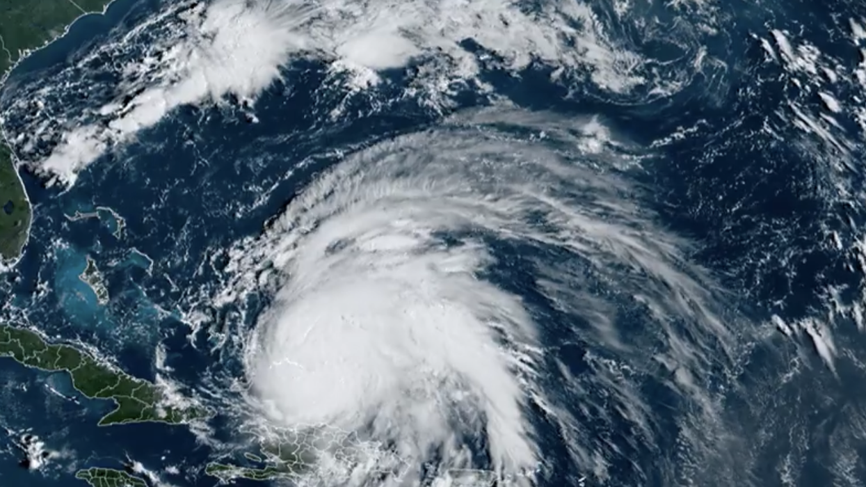
Satellite image of Hurricane Fiona as it heads north in the Atlantic Ocean.
Hurricane Fiona is hurtling north towards Canada and it's forecasted to directly hit Nova Scotia before impacting other provinces in the area.
In an update from Environment Canada's Canadian Hurricane Centre on September 22, 2022, it was revealed that Fiona, which is currently a Category 4 storm, "has the potential to be a landmark weather event" in Atlantic Canada this weekend.
Hurricane Fiona's track shows it entering Canadian waters late on Friday, September 23 with wind speeds of 205 km/h.
Then, it's expected to hit Nova Scotia, east of Halifax and near Cape Breton Island, on Saturday, September 24 as a post-tropical storm with windspeeds of 175 km/h.
After that, Fiona will move north into the Gulf of St. Lawrence just west of Newfoundland, reaching the lower Quebec north shore and southeastern Labrador early on Sunday, September 25.
Winds are expected to be around 100 km/h then.
A tropical cyclone statement is currently in effect for all of Nova Scotia, Newfoundland and P.E.I. along with parts of New Brunswick and Quebec.
According to the Canadian Hurricane Centre, the storm is predicted to be "a deep hybrid low-pressure system" that has properties of "intense" tropical and winter storms.
Most regions will experience some hurricane-force winds starting late on Friday and continuing on Saturday, which could lead to "prolonged" outages.
Rainfall will be significant, especially in places that are north and west of Fiona's track.
The highest rainfall amounts are forecast for eastern Nova Scotia, southwestern Newfoundland and other areas in the Gulf of St. Lawrence region.
Widespread rainfall amounts could be between 100 and 200 millimetres but closer to the path of the storm, more than 200 millimetres are likely to fall.
The Canadian Hurricane Centre also said that large waves will reach the eastern shore of Nova Scotia from the south on Friday night and be more than 10 metres.
Those waves will then make it to southern Newfoundland by Saturday morning.
Some of the waves along eastern parts of the Gulf of St. Lawrence could be higher than 12 metres while western areas will get waves up to eight metres.
Coastal flooding is also a threat with the highest risk coming from the combination of storm surges and large waves moving onshore.
To prepare for the hurricane, Environment Canada recommends securing your home, creating a family action plan, putting together an emergency supply kit and staying up to date with weather forecasts and emergency alerts.
- Hurricane Fiona's Path Shows It Heading Right To Canada & It ... ›
- Warnings Are Now In Place For Hurricane Fiona & It Could Be Worse Than Dorian - Narcity ›
- Hurricane Fiona Could Bring 'Tropical Snow' To Canada & 20 cm Is Possible In Some Spots - Narcity ›
- Hurricane Fiona Made Landfall In Canada Overnight With 'Powerful' Winds & Caused So Much Damage - Narcity ›