Ontario's weather forecast says another snowstorm is on the way with more than 20 cm this week
Even Toronto and the GTA will get around 15 cm of snow!
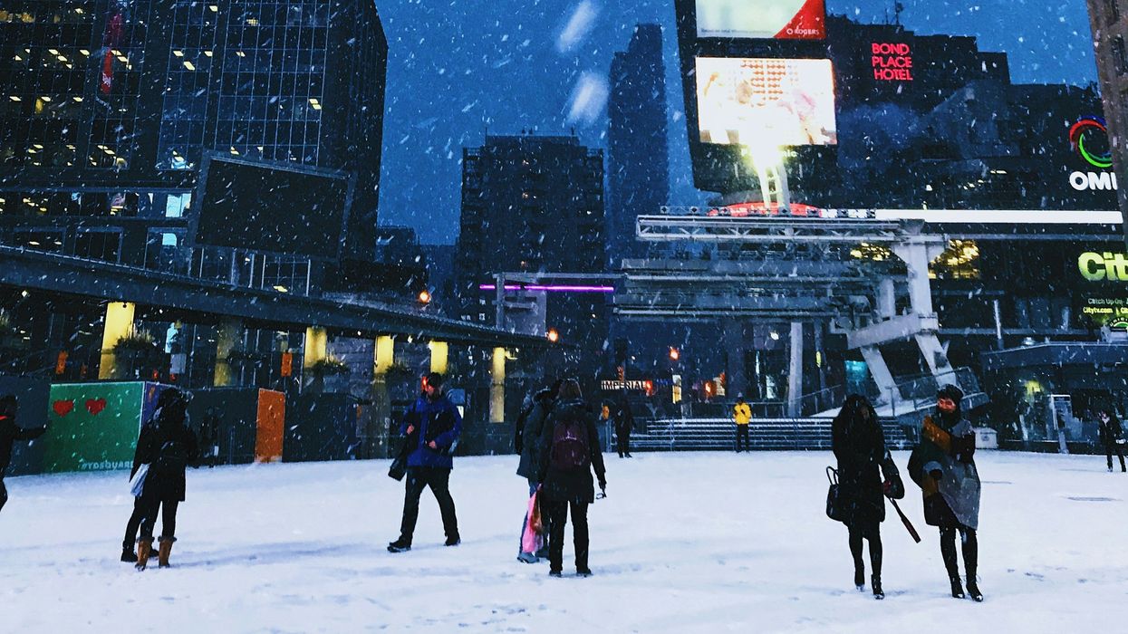
People in Toronto during a snowstorm.
Ontario's weather forecast says another snowstorm is hitting the province this week and bringing more than 20 cm of snow.
There's a risk of "hazardous conditions" like blowing snow and power outages because of heavy snowfall and strong winds, including in Toronto and the GTA.
The Weather Network is warning of a storm that's on the way to southern Ontario on Wednesday, February 12 and Thursday, February 13.
Localized lake-effect snow will develop across western parts of Lake Ontario, impacting areas from St. Catharines to Toronto in the morning on Wednesday.
Then, as the storm nears Lake Erie, snowfall will "intensify" all over southern Ontario in the afternoon.
Wind gusts of up to 60 km/h along the northern shore of Lake Ontario will increase the risk of blowing snow and reduce visibility on the roads.
This snowfall is forecast to get even heavier in the evening and overnight into Thursday, especially across areas north of Lake Ontario and eastern Ontario, including Ottawa.
According to The Weather Network, heavy snow could cause travel disruptions on the roads and flight cancellations.
Toronto's weather forecast calls for 10 to 15 cm of snow on Wednesday.
That's also how much snow is expected to fall in Markham, Vaughan, Pickering, and Hamilton.
There will be 15 cm in Brampton, Mississauga, Oakville, Milton, Georgetown, Orangeville and more places in the western parts of the GTA.
Places like Collingwood, Bancroft, Kincardine, Goderich, Orillia, and Gravenhurst are expected to get 15 to 20 cm of snow.
More than 20 cm of snow is forecast for Parry Sound, Bracebridge and surrounding areas.
According to The Weather Network, you should "expect significant slowdowns and hazardous conditions on highways" across southern Ontario.
Winds from 70 to 90 km/h on Thursday morning will increase the risk of power outages.
Also, there is the potential for rain and freezing rain near Lake Erie, including the Niagara region, and possibly even into parts of the GTA.