Ontario's weather forecast says three snowstorms in a row are bringing up to 20 cm of snow
Friday's storm could cause even more "heavy snowfall" for southern Ontario.

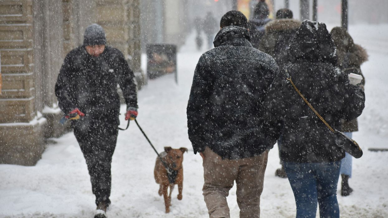
People walking on a sidewalk while it snows.
Southern parts of Ontario just got hit with snow and now the province is getting storms every day for the next three days!
Ontario's weather forecast is calling for three snowstorms over the last few days of January, with up to 20 cm — or even more — expected.
The Weather Network shared that back-to-back storms are set to bring rounds of snow, gusty winds and difficult travel in Ontario for the end of January.
These are the three types of snowstorms that are on the way for the province: lake-effect snow, a clipper system, and a Texas low.
If you're still digging out from the night before, snow is continuing for southern Ontario on Wednesday, January 29.
Lake-effect snow will burst across southern parts of the province. Three dominant bands could bring 10 to 20 cm of snow to areas southeast of Lake Huron, including Mount Forest, Hanover and Mitchell.
Toronto and the GTA could get up to five cm of snow through Wednesday, including Brampton, Mississauga, Pickering, Milton and Oakville.
Newmarket, Oshawa, Barrie, Orangeville, Fergus, Waterloo, Woodstock, London and Goderich could get five to 10 cm of snow.
On Thursday, January 30, a clipper system will move in from the Prairies and spread snow from Thunder Bay to Ottawa through the afternoon.
There could be another five to 10 cm of snow across northern and central Ontario.
Even though there is still uncertainty about where the next storm system will track, it could push into Windsor and western parts of the GTA on Thursday night.
This Texas low is expected to bring a rain and snow mix in the morning on Friday, January 31, before changing to "heavy snowfall" by the afternoon.
According to The Weather Network, if the snowstorm does track into southern Ontario, it would be a "quite significant" storm throughout Friday!