Ontario Weather Is Kicking Off The New Year With A 'Disruptive Mix' Of Snow, Ice, Wind & Rain
It's also going to be so, so cold. ❄️
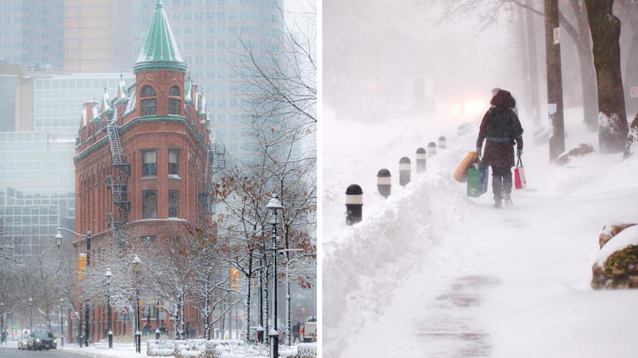
2022 is finally here, and it looks like Ontario's weather is going to be a slushy and chilly mess for the first few days of the year.
According to The Weather Network, on Saturday, January 1, a blanket of snow is going to hit the province which will make travel difficult.
The region is set to receive "a dynamic system that threatens to bring a disruptive mix of rain, snow, ice, and wind" to kick off the first weekend of 2022. Yikes!
Later in the day, widespread snow will hit Ontario in the evening but will lessen on Sunday. In total, 5-15 centimetres of the white stuff is expected across southern Ontario for the weekend.
The area around Hamilton, Kingston and Cornwall could see between 10-15 centimetres of snow. As for the Greater Toronto Area, 5-10 centimetres of snow is expected to be on the ground by Sunday.
"This snowfall will be more impactful than usual because the snow will initially melt on pavement, but the compressed slush will turn to ice as temperatures fall well below freezing Saturday night into Sunday," said TWN.
As well as snow and slush, the wind will be quite blustery which could make travel dangerous in certain areas. In southern Ontario, gusts will be between 40-60 km/h.
To make things even chillier, a blast of Arctic air will accompany the winds on Sunday which means daytime highs will fall below zero in the southern part of the province. The weather agency warns that wind chills will reach into the minus teens at certain times.
As for Monday, similar temperatures are expected with the wind chill making it feel closer to -20 C.
It's not all bad news though — for Tuesday and Wednesday, temperatures will be more moderate.
But unfortunately, it's going to get even colder later in the week, so make sure you bundle up!
This article's cover image was used for illustrative purposes only.