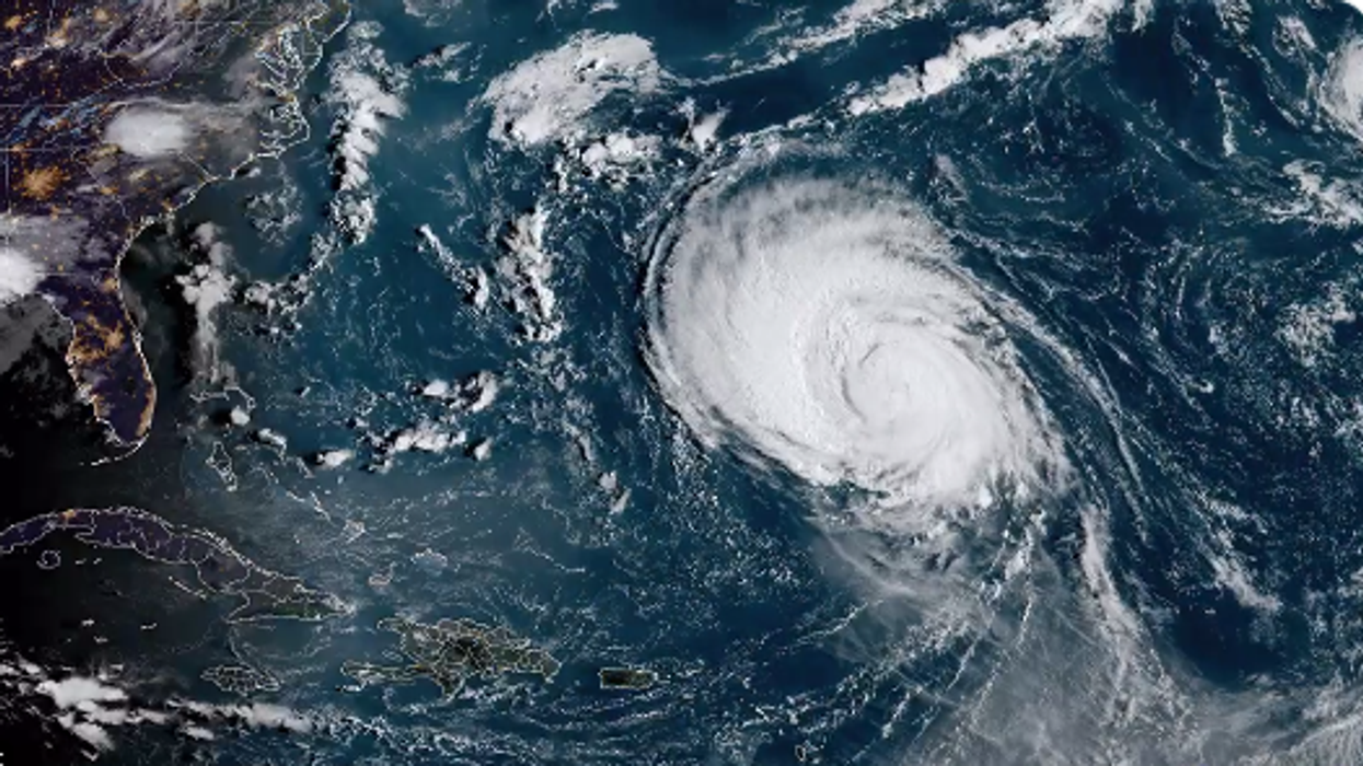
This Is When Hurricane Larry Is Expected To Make A 'Head-On' Impact In Canada
The storm could bring 150 millimetres of rain and winds over 130 km/h.
Atlantic Canada is directly in the path of Hurricane Larry and a new timeline details when the storm is expected to impact the region with rain and wind and when it could make landfall in Newfoundland.
According to a forecast from AccuWeather, parts of Atlantic Canada are expected to get "a head-on hit" from the storm and it could bring the intensity of a category-one hurricane.
Landfall could happen during the night of Friday, September 10, or early the next morning, and Newfoundland could start experiencing wind gusts after 8 p.m. local time on Friday, with the east coast getting the worst of it.
Gusts of 129 to 161 km/h are expected, with 177 km/h winds possible within a small area near where Larry makes landfall. Winds that strong can cause significant property damage, topple trees and cause widespread power outages.
Rain is expected to impact not just Newfoundland but Nova Scotia, P.E.I. and New Brunswick as well. For Nova Scotia, P.E.I. and New Brunswick, rainfall could start at 2 p.m. local time on Friday. Then, Newfoundland could see rainfall after 8 p.m. local time, with the precipitation possibly clearing out after 2 a.m. local time on Saturday.
In general, 25 to 100 millimetres of rain is anticipated, but areas near where the hurricane makes landfall could get 150 millimetres.
Brett Anderson, a senior meteorologist and Canadian weather expert with AccuWeather, said that most of the rain is expected to fall within a six to 12 hour time, which is likely to trigger flash floods, mudslides and road washouts.
As of 8:45 a.m. AT on September 8, Environment Canada and the Canadian Hurricane Centre have issued tropical cyclone statements for St. John's and its surrounding areas, Avalon Peninsula North, Avalon Peninsula Southeast and Avalon Peninsula Southwest.
