Ontario's Weather Forecast Calls For Rain & Thunderstorms So It'll Be Gross AF Today
You might want to stay home.
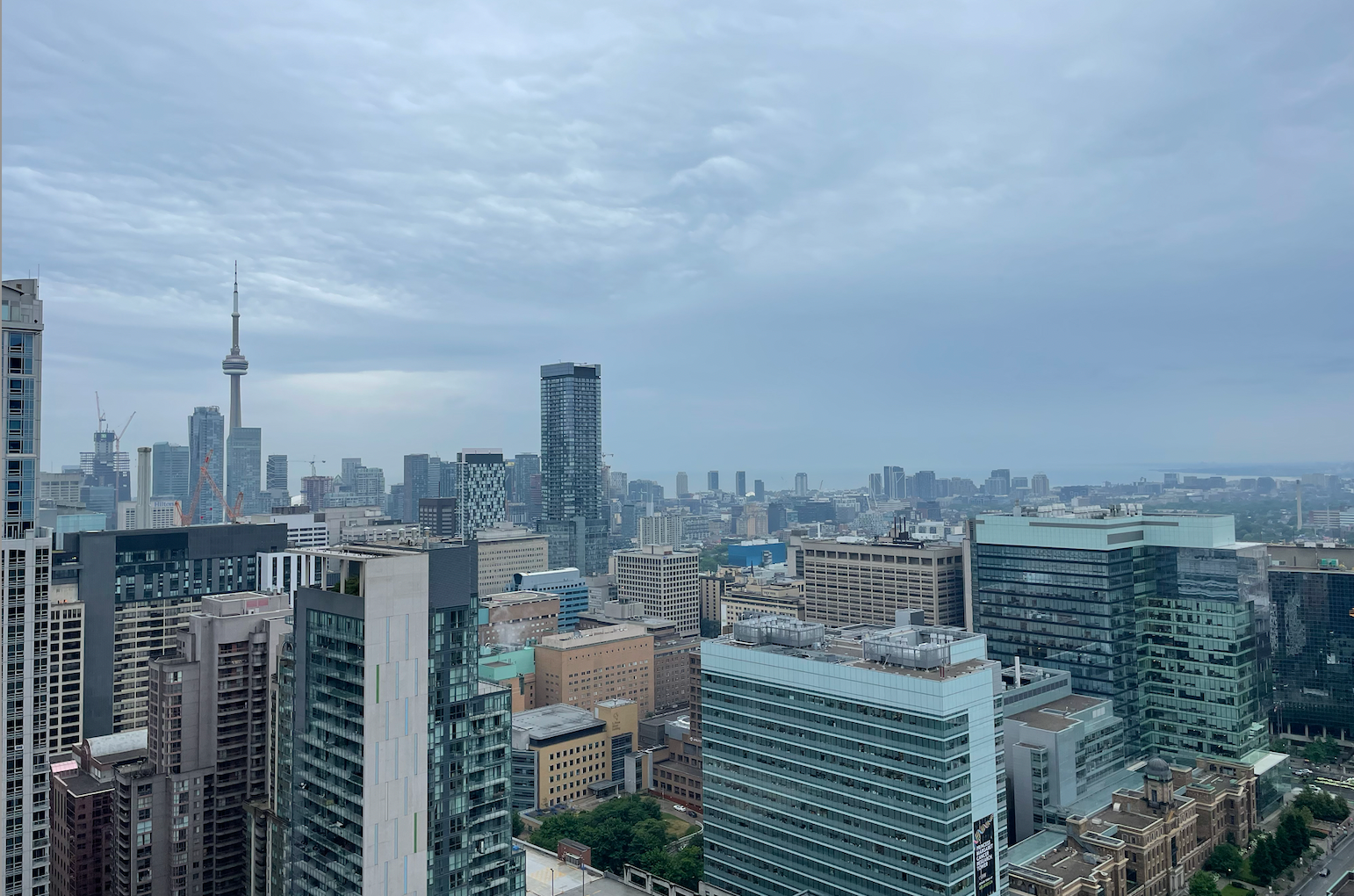
Gloomy and rainy day in Toronto.
Have you been looking out the window this Tuesday morning and singing, "Rain, rain go away, come again another day," on repeat? Well, you're not alone.
According to The Weather Network (TWN), Ontarians can expect to see a round of morning rain on Tuesday, followed by a cloudy sky and a "slight thunderstorm threat."
TWN states as the "summertime low-pressure system tracks through," the province can expect to see heavy rain at times and rumbles of thunder at others, moving across the Great Lakes region.
Rain will be most prominent in the morning, as commuters experience the wet conditions on their way to work on Tuesday and will lessen throughout the day. But, make sure to keep your umbrella in hand as you may experience some scattered rain throughout the afternoon.
Areas across the southwest, including cities like Windsor, could see some severe weather threats, but that mainly remains across the border.
Don't let the gloomy and wet weather fool you because it'll still be quite humid in Ontario. Some areas will be seeing temperatures in the mid-30s around the GTA.
Environment Canada (EC) has heat warnings in place in Ontario, including Elgin, London to Middlesex, Sarnia to Lambton and Windsor to Essex and Chatham-Kent.
"Daytime highs near 31 degrees Celsius with humidex values near 40 are expected today," EC states.
The cold front coming in tonight could bring some relief to the humid weather, but this could also "bring deteriorating air quality and can result in the Air Quality Health Index approaching the high risk category."
EC recommends drinking plenty of water and staying in a cool place such as a swimming pool, tree-shaded area or air-conditioned spots around the province.