Ontario's weather is in for heavy downpours from multiple rounds of storms today
There might even be hail in the GTA. 😬
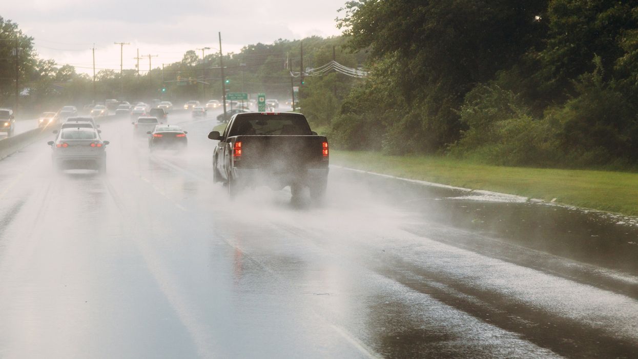
Rainy conditions on a road.
Ontario's weather is about to get messy and it could affect the evening commute for people in the province, including the GTA.
As well as heavy downpours and multiple rounds of storms, some areas might even see nickel-sized hail, so you'll want to make sure you stay up to date on the road conditions.
According to The Weather Network, a warm front is moving in that will create conditions favourable for storms.
"These storms bring the risk of heavy downpours, frequent lightning, and even small hail as they move across the Greater Toronto Area through Monday evening," they explain.
"With multiple rounds of thunderstorms expected to move over the same region, urban areas face an increased threat of flash flooding," TWN says. "Rainfall totals could be significant, with some regions potentially seeing 30-50 mm from intense downpours or repeated heavy showers."
ECCC Weather Ontario had a similar forecast for Ontario's weather.
"Strong wind gusts, nickel sized hail and localized heavy rainfall are possible in portions of southern ON Monday PM," they shared on X.
As well as the storms, smoke from the wildfires out west will affect the air quality in southern Ontario on Monday evening, according to TWN.
"The threat of heavy rainfall extends into Tuesday, with showers lingering before finally tapering off Tuesday evening," they say. "With the potential for multiple rounds of storms, residents are advised to remain vigilant and prepared for changing weather conditions."
Stay safe out there!
This article's cover image was used for illustrative purposes only.