Toronto Is Under A Flood Watch & So Much Rain Is Expected To Hit The City Today
It's going to be a real soaker.
A dangerous combination of heavy rainfall and the city's frozen ground has just put Toronto under a flood watch. So, if you've got rain boots, today is the day to pull them out.
According to Environment Canada, up to 25 millimetres of rain is possible on Tuesday, with heavy downpours expected to start in the morning and continue into the evening.
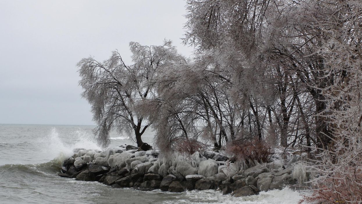
Environment Canada warns that the showers will fall onto frozen ground, which has a reduced ability to absorb rainfall. Ice accretion, when ice builds up on solid objects, is also possible.
Toronto and Region Conservation Authority (TRCA) issued a similar warning about the possible flooding, highlighting the following problem areas:
- Mimico Creek – Bloor Street West crossing (southeast corner of Islington Avenue and Bloor Street West intersection)
- Humber River – Bloor Street crossing as well as near the Toronto Humber Yacht Club and the Old Mill Road bridge
- Lower Don – Villiers Street to Cherry Street bridge
"With the combination of increased runoff from rainfall on frozen ground as well as snow and ice melt, water levels and flows in rivers will be higher than normal this week with the incoming weather system," TRCA warns.
"All rivers and streams within the GTA should be considered dangerous as the weather conditions will result in higher water levels, fast-flowing cold water and slippery or unstable banks," it adds.
The Weather Network reports that Brampton residents are "especially anxious" after last week's storm led to over 100 homes being evacuated.
"We're still concerned though about future flooding that could happen in the coming days," Brampton Fire Chief Bill Boyes said Monday. "As we know precipitation will be falling tomorrow."