Ontario Will Be Slammed With Up To 20 cm Of Snow, Strong Winds & Freezing Temps Today
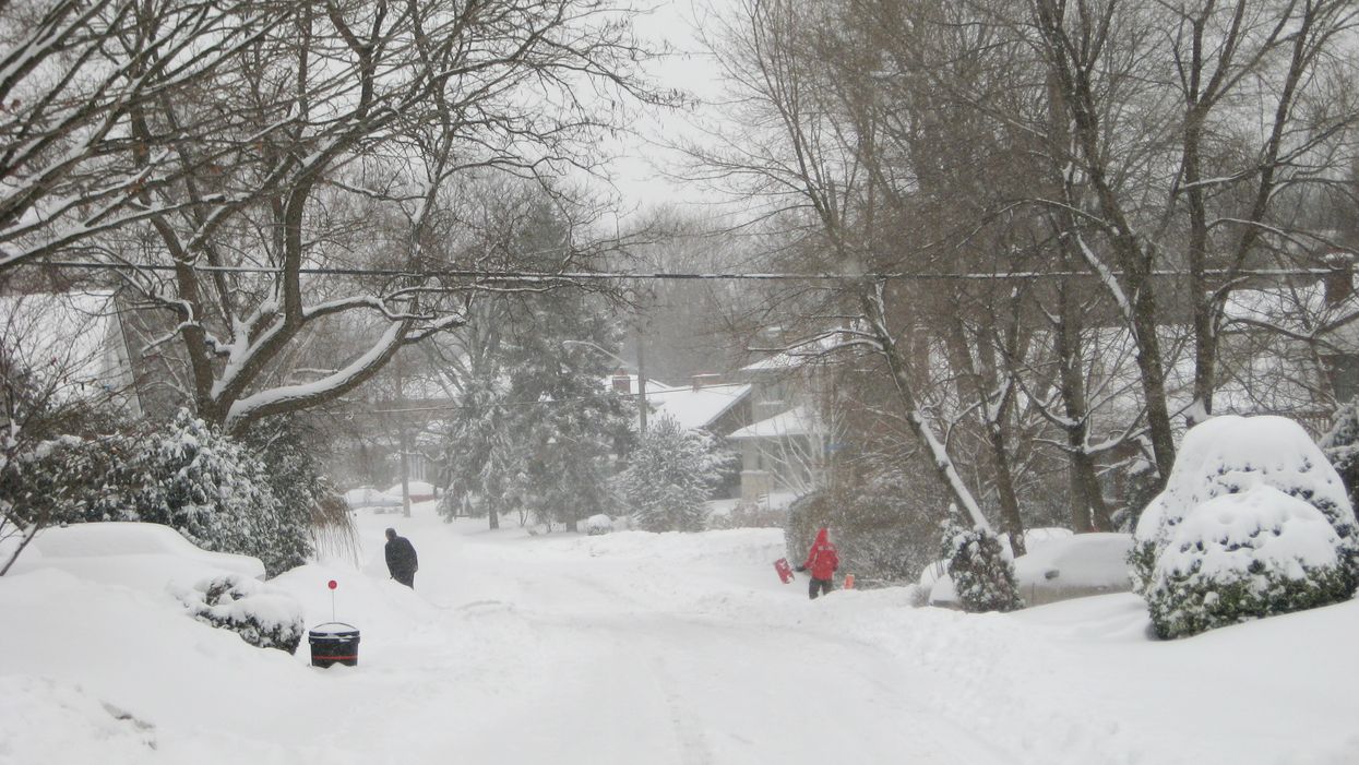
Widespread snow is expected to sweep through Ontario's forecast on Thursday, marking the beginning of a more frigid winter.
According to the Weather Network, northern regions of the province could receive as much as 20 centimetres of snow by this morning.
Editor's Choice: This Ontario Company Is Hiring Full-Time 'Candyologists' To Taste-Test Sweets At Home
However, the storm won't be nearly as intense in central Ontario, where only 5 to 10 centimetres of accumulation is expected, or south of cottage country, which will see 5 centimetres of snow or less.
However, wind gusts could reach up to 50 kilometres per hour. So, you're probably going to want to limit your time outside.
The heavy snowfall signals the start of a more persistent cold pattern, and it is going to be beyond chilly.
TWN reports that the city of Toronto could dip as low as -10 C for the first time this winter by the weekend.
Ontario's delayed winter temperatures can reportedly be linked to a lack of arctic air.
So bundle up if you're planning on heading outside this weekend!