A Tropical Disturbance Is Forming Off The Florida Coast & It's Heading Towards Land
The week ahead may be wet and rocky for Florida. The beginnings of a tropical cyclone are starting to stir over Cuba and the Bahamas. And it's expected to make its way to The Sunshine State through the week.
The National Hurricane Center (NHC) reports that the disturbance currently has only a 20% chance of forming into a full-blown cyclone in the next 48 hours as well as a 20% chance over the next five days.
The NHC anticipates that the system will move through the Straits of Florida today and through the night, situating itself over the southeastern Gulf of Mexico by Tuesday.
Editor's Choice: Protesters Crash Florida Gov. Meeting Again...This Time With Drums
By Wednesday, the disturbance is expected to sit in the center of the Gulf before moving on to the northwestern part towards Texas by Thursday.
The NOAA also stated that as the storm nears The Gulf of Mexico off Florida's west coast, weather conditions may contribute to making it more likely for a tropical cyclone to form.
If necessary, an Air Force Reserve Hurricane Hunter aircraft is set to take a closer look tomorrow.
Two other disturbances are also marked on NOAA’s map of the Atlantic, both now with a 20% chance of cyclone formation as of publication; neither of these extra storms is currently set to hit Florida.
As for what kind of weather to expect in the coming days, forecasts across the Sunshine State call for a 50% chance of scattered and p.m. thunderstorms, so you may want to keep an eye out for updates before scheduling your beach day.
Floridians are no strangers to fluctuating weather patterns. One second you could be getting poured on and then minutes later it transforms into the most beautiful sunshiney day you've ever seen.
You can never be too prepared during hurricane season; it can't hurt to stay up to date on current weather changes and have a safety plan in mind!
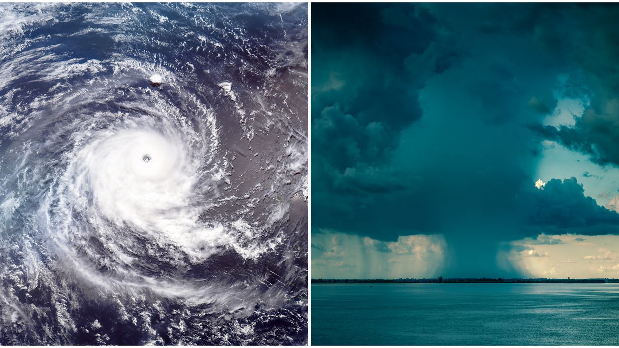
*Cover photo for illustrative purposes only.