6 Videos Of Ontario's Wild Snowstorm That Will Make You Want To Stay Inside For Good
It was like being inside a giant snowglobe.
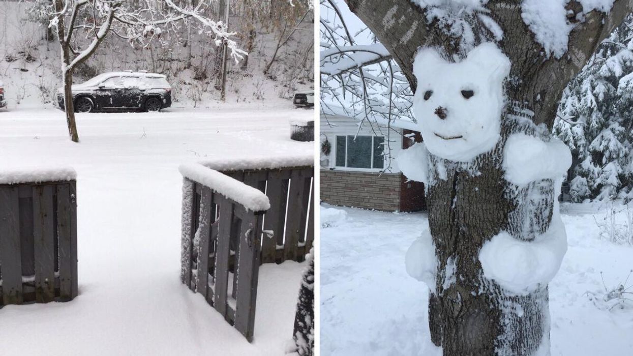
A snowy Ontario street. Right: A snow creation.
If you're someone that needs white on the ground to get into the holiday spirit, then Ontario's snowstorm on Thursday probably made you feel all giddy inside — assuming, of course, that you didn't have to travel.
Heavy snowfall swept across parts of the province on December 15, offering residents a chance to enjoy a more picturesque winter or snowy nightmare depending on which camp they belong to.
Residents of the Ottawa Valley seemed stoked to wake up in a bonafide winter wonderland, despite the fact that most of their cars got totally buried.
Drivers stuck in the Greater Toronto Area's (GTA) wintry traffic were probably less happy about being suddenly transported to the north pole, with things getting especially hectic during the evening hours.
While, snow fell across most of southern Ontario on Thursday, The Weather Network (TWN) noted that lakeside cities such as Toronto also saw a lot of rain, which explains why the 6ix looks more grey and slushy than like a snow globe.
"Temperatures did not support the snow as expected," said Nicole Karkic, a TWN meteorologist. "It was above freezing for Toronto through much of the day and evening and the milder air pushed further north than forecast."
Areas north of the GTA recorded around 5 to 10 centimetres of snow, with as much as 25 centimetres possible for eastern Ontario. Accumulations are expected to grow on Friday.
As for what the future holds, experts warn residents to keep an eye on a pattern of southwesterly winds that will lead to bands of lake-effect snow developing off of Lake Erie and Lake Huron.
"These bands will ramp up on Friday evening, affecting the Niagara Peninsula as well as portions of the Huron shores," TWN concludes.