Parts Of Ontario Will Be Hit By More Snow & Strong Winds This Week
Northerners are in for another taste of winter as parts of the province face another snowy Ontario forecast.
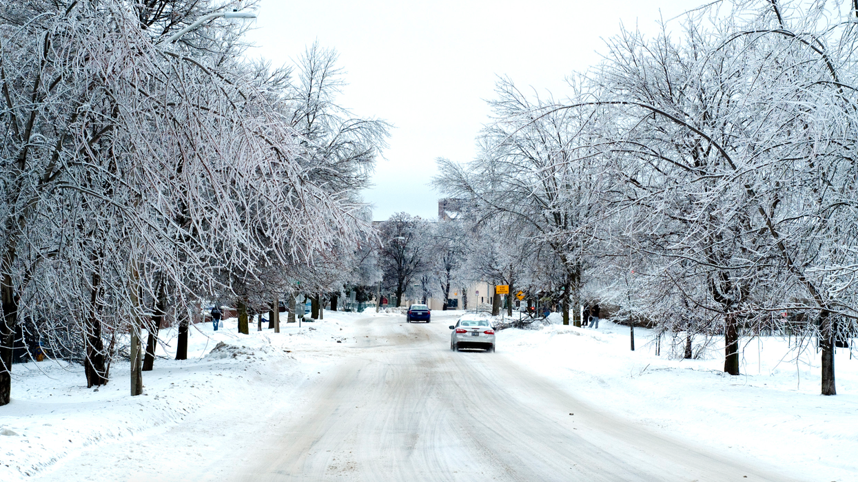
According to The Weather Network, an approaching system will put several regions at risk for flurries on Tuesday.
A pattern of colder air is expected to drift down into areas above the Nickel Belt, causing precipitation to fall as snow.
Editor's Choice: Ontario Is Getting Its First Big Snow Storm Of The Season This Weekend
Meanwhile, southern Ontario will be in for notably milder fall temperatures this week.
Daytime temperatures will reach as high as 17 C in Toronto on Friday, which will feel closer to 21 C in the sun.
You might not want to be strolling around too much, though, as strong winds and rain are still expected.
Gusts are forecasted to reach 40 to 60 kilometres an hour across the region, so you will want to hold onto your umbrella.
Overall, it will be a rain-soaked week for the majority of the province, with northern areas facing snow due to their colder temperatures.