It's Going To Be Chilly AF Today In Toronto & You're Going To Want To Grab A Sweater
It's going to be the coldest it's been since May!
After weeks of melting in scorching daytime temps, Ontario's weather forecast is heading back into sweater weather today.
According to The Weather Network, (TWN), temperatures will drop into the upper teens across much of Southern Ontario, with the GTA set to experience its coldest day since May 28.
"It's like we've time-travelled back to May, as highs remain below the 20s, with a brisk northerly wind," Tyler Hamilton, TWN meteorologist, said.
Toronto could reach temperatures as high as 18 degrees today. However, by the evening the city will feel like a chilly 9.
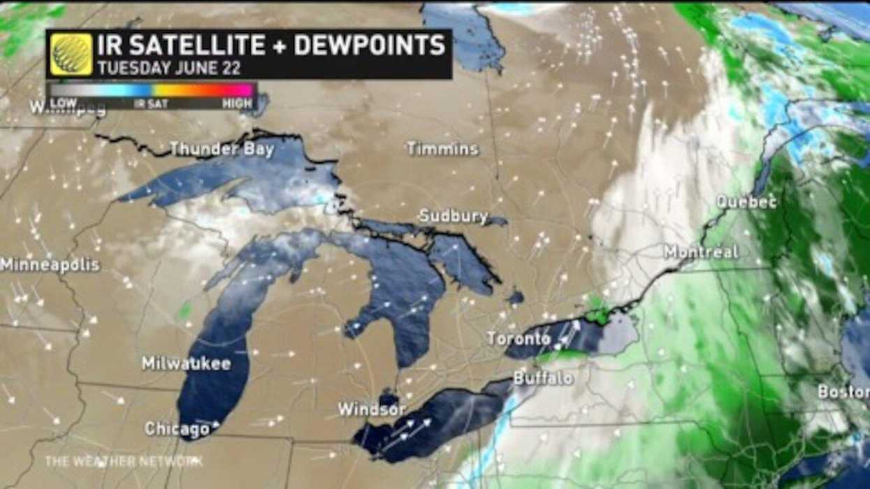
As if that wasn't enough, thunderstorm warnings will also stretch into Tuesday afternoon with small hail and funnel clouds expected in northern regions.
Thankfully, these cold and stormy conditions won't dampen your Friday night, with sunshine and 30-degree temps expected to make their return ahead of the weekend.