Ontario Weather Is Blasting Some Spots With 30 cm Of Snow Today & Winter Isn't Over Yet
So long sunshine.
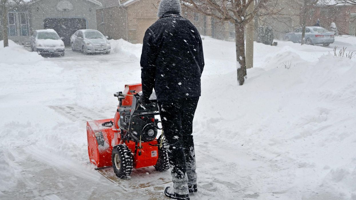
A blower during a snowstorm in Ontario.
Don't let the arrival of spring in Ontario fool you into thinking winter has left the building because it's about to get super gross outside.
According to The Weather Network (TWN), the province will be caught between two systems on Tuesday, resulting in a barrage of wintry conditions, including heavy snow and freezing rain, landing in the northern regions.
If that wasn't bad enough, an incoming pattern of strong winds is also set to up the chance of power outages this week. So, basically, Mother Nature hates fun.
"A clipper system from the Prairies will be fed deep southern moisture on Tuesday, bringing a healthy dose of snowfall across northwestern Ontario into Wednesday," an excerpt from TWN report reads.
The severity of the incoming conditions has resulted in several snowfall warnings and special weather statements being issued.
Widespread 15 to 20 centimetres of snow will cover cottage country, with Thunder Bay expected to see up to 30 to 40 centmetres.
"Be prepared to adjust your driving with changing road conditions. Rapidly accumulating snow could make travel difficult over some locations. Visibility may be suddenly reduced at times in heavy snow," Environment Canada warns.
Other areas such as Kenora, Fort Frances, and Red Lake will dodge the more signicant amounts of snow but will face dangerous travel conditions nevertheless.
"A messy mix of snow with rain, freezing rain, or ice pellets is slowly moving through Northwestern Ontario. Total snowfall accumulations may vary considerably as temperatures are expected to fluctuate around zero degrees," the agency adds.
In conclusion, if you were planning on carrying out big travel plans this week, you might want to reconsider, as roads will be considerably more dangerous than usual.