Parts Of Ontario Are At Risk Of Flooding Today As A Massive Storm Hits The Province

It's going to be a real soaker. ☔️
Contributing Writer

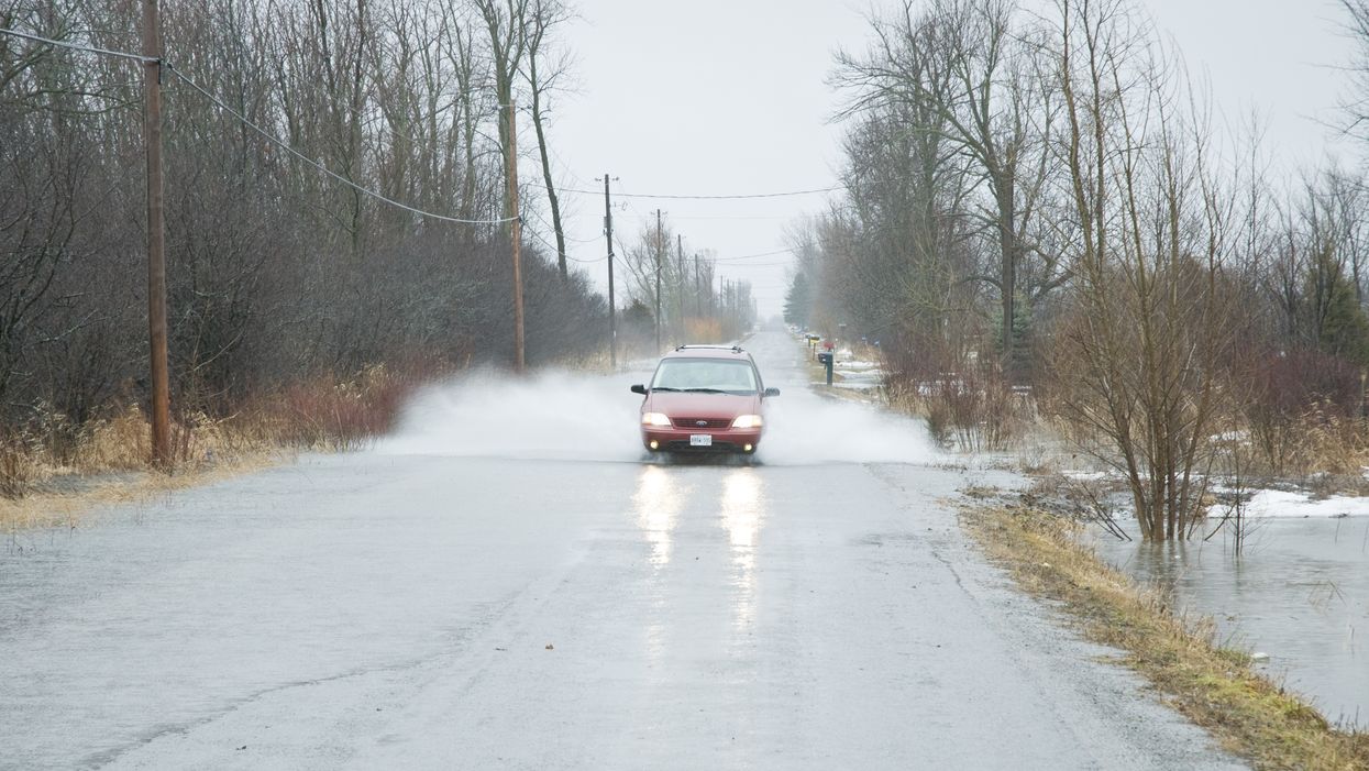
Bust out your umbrellas! Ontario's weather forecast has put several northern regions on flood watch today due to an incoming storm and a stretch of torrential rain.

According to The Weather Network, areas like Thunder Bay will receive as much as 50 millimetres of rain by Thursday evening with a possibility for flooding in "low-lying areas."  

Editor's Choice: 3 Canadian Universities Just Got Ranked Among The Best In The World In 2021

"A slow moving area of low pressure over the central United States will bring an extended period of rain to parts of northern Ontario," Environment Canada warns. "The frozen ground has a reduced ability to absorb this rainfall."

Thankfully, the showers will have mostly disappeared by the weekend.

Meanwhile, southern regions will be remarkably sunny and warm this week with daytime temperatures reaching as high as 14 C on Wednesday in Toront.   

  • Contributing Writer

    Patrick John Gilson (he/him) is a Contributing Writer with Narcity Media. He is a pro at ensuring his content is both exciting and tailored to millennials. He specializes in breaking news and investigative stories that require him to be on scene— something he enjoys and thrives in.

An ice storm threatens 20 mm of freezing rain and warnings are in effect for parts of Ontario

Power outages and property damage are likely because of ice build-up.

Ontario storm is bringing ice, flooding, power outages, thunderstorms & up to 20 cm of snow

Ontario's weather this week is shaping up to be an absolute mess.

You can get up to $717 from Canada's grocery benefit top-up payment this week

Check your bank account or your mailbox for money soon!

7 VIA Rail summer getaways from Toronto that cost less than a tank of gas round-trip

You can explore the province without stopping at the pumps.