'Dangerous Thunderstorms' Are Heading To Ontario & It's About To Get Real Intense

Localized flooding is possible.

Contributing Writer

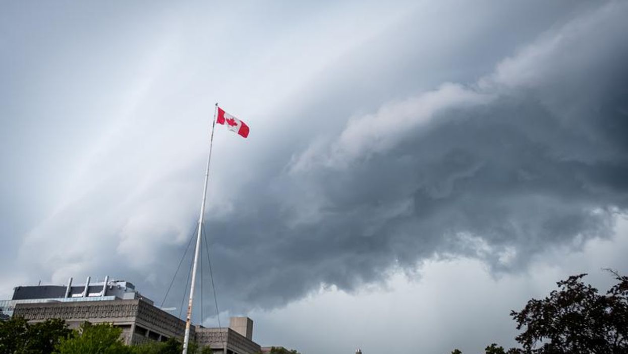
Ontario's weather forecast says a cluster of isolated thunderstorms will arrive Thursday afternoon and it's about to get intense.

A severe thunderstorm watch has been put in place for multiple locations across Ontario, including Toronto, Peel Region and London, and is warning of "dangerous" conditions.

According to Environment Canada, localized flooding, hail, dangerous winds and torrential rain are some of the conditions the thunderstorms could produce.

Heavy downpours of up to 50 millimetres could accumulate within short periods of time, with some storms producing 90 km/h winds.

"Heavy downpours can cause flash floods and water pooling on roads. Lightning kills and injures Canadians every year. Remember, when thunder roars, go indoors," the government department says.

  • Contributing Writer

    Patrick John Gilson (he/him) is a Contributing Writer with Narcity Media. He is a pro at ensuring his content is both exciting and tailored to millennials. He specializes in breaking news and investigative stories that require him to be on scene— something he enjoys and thrives in.

An ice storm threatens 20 mm of freezing rain and warnings are in effect for parts of Ontario

Power outages and property damage are likely because of ice build-up.

Ontario storm is bringing ice, flooding, power outages, thunderstorms & up to 20 cm of snow

Ontario's weather this week is shaping up to be an absolute mess.

You can get up to $717 from Canada's grocery benefit top-up payment this week

Check your bank account or your mailbox for money soon!

These Canadian schools made the top 50 of a new best universities in the world ranking

More than 30 universities in Canada are on the global list! 📚