Ontario's Weather Forecast Predicts A Stormy, Sweaty Mess Today & It'll Be So Gross
Prepare to be uncomfortable in every way.
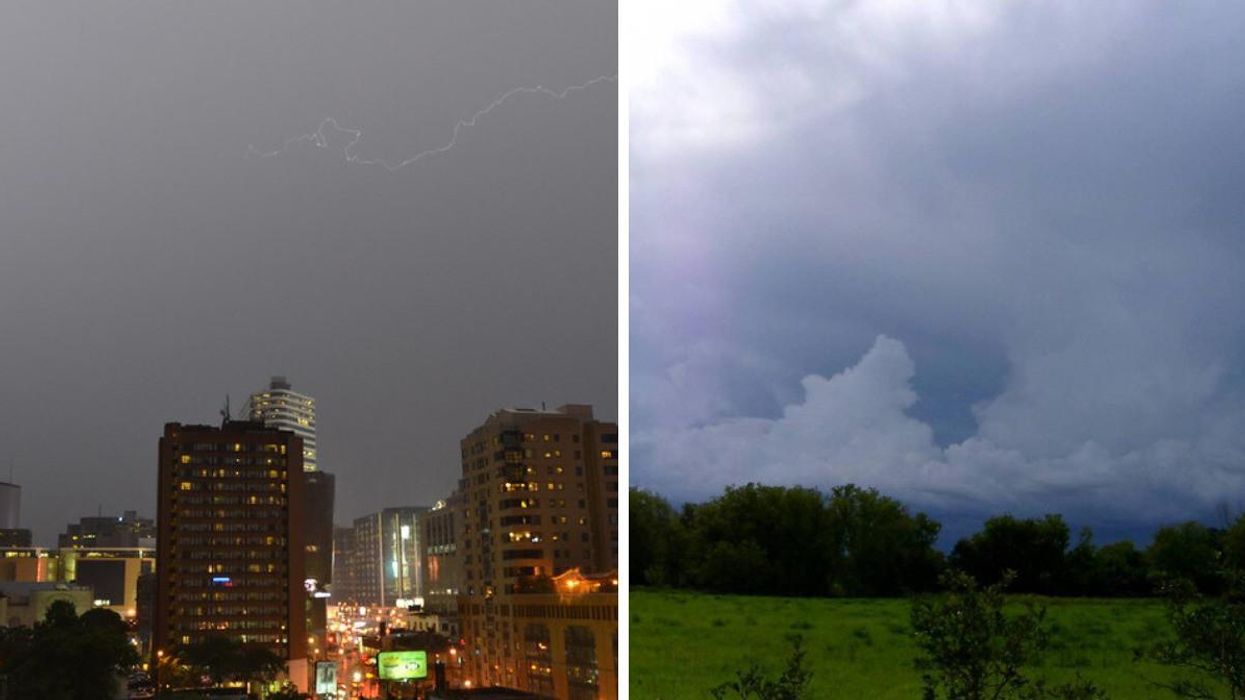
A stormy Toronto. Right: Storm clouds over Ontario.
Thunderstorms are set to invade Ontario's weather forecast again on Monday, thanks to a sticky build-up of heat and humidity.
According to The Weather Network (TWN), an incoming pattern of instability could cause storms to turn severe, with large hail, strong winds and heavy rains possible on Monday.
"A few areas will be worth watching extra closely, particularly near the advancing warm front across eastern Ontario where extra wind shear may enhance the risk for a few rotating storms," Michael Carter, TWN meteorologist, warns.
Regions such as London, Windsor, Ottawa and Cornwall are forecast to hit 30 degrees on Monday, with humidex values making things feel closer to 40 degrees.
Avoid coloured t-shirts at all costs.
The spicy temps have caused Environment Canada to issue heat warnings for several regions.
"Hot and humid air can also bring deteriorating air quality and can result in the air quality health index approaching the high risk category," the department warns.
Residents won't need to hug their A.C.'s all week, though, as things are predicted to switch from heatwave to hint-of-autumn by midweek. A dramatic change that will also help create thunderstorms.
"There will be a significant shift in this temperature trend during the first few days of September, which are expected to be on the cooler side," TWN adds.
But don't start crying your end-of-summer tears yet, friends, because all of this early taste of fall mumbo-jumbo will last longer than a few days.
Another shirt-soaking round of heat is scheduled to return over the Labour Day long weekend.