Parts Of Ontario Are Under A Snow Squall Watch & Can See Up To 15 cm Today
The first half of Ontario's winter forecast might've been remarkably mild, but those days are over.
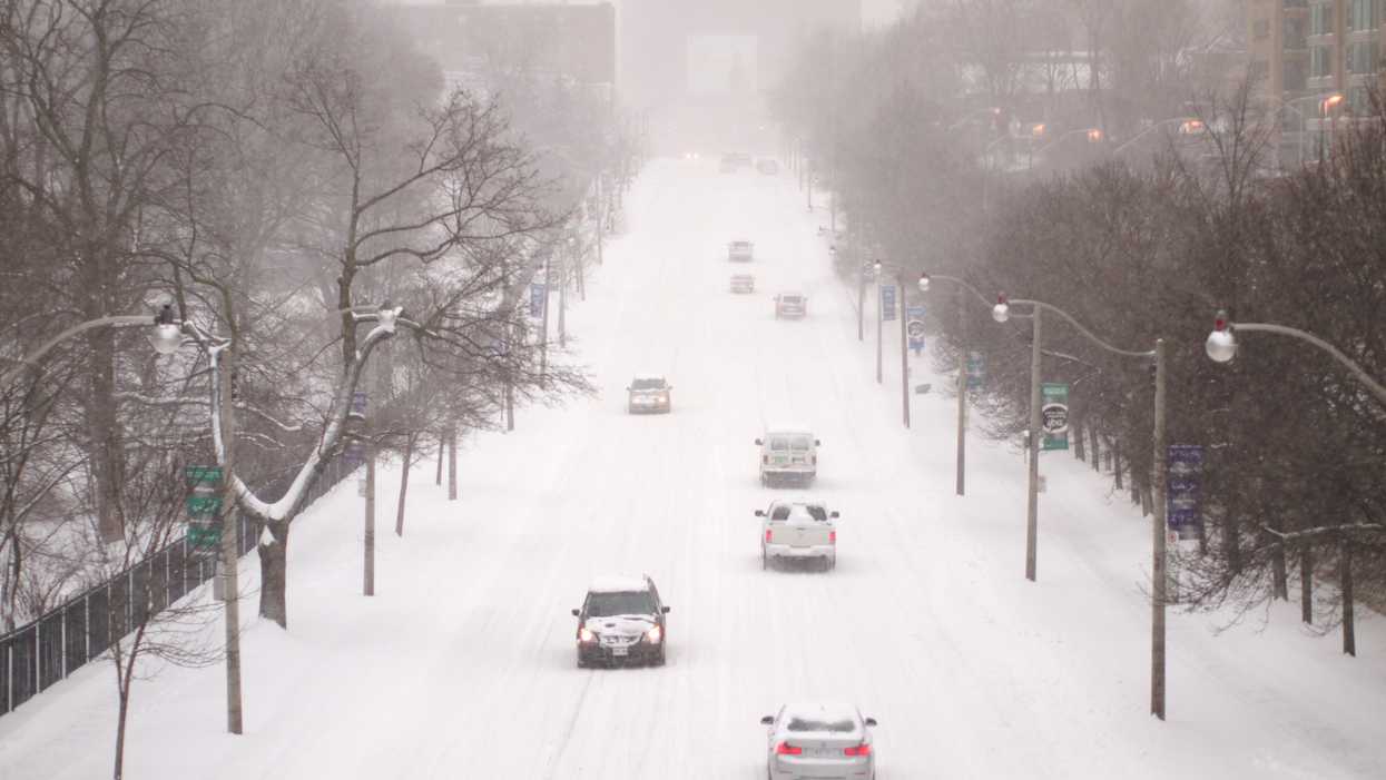
Environment Canada issued several snow squall watches on Monday as regions of the province prepare for up to 15 centimetres.
Editor's Choice: The Polar Vortex Is Spreading 'From Coast To Coast' With Temps As Low As -50 C This Week
Locally heavy snow squalls are expected to develop late this morning as winds shift to a southwesterly direction.
Environment Canada
Affected areas include Sault Ste. Marie, Parry Sound and Burk's Falls.
The flurries are expected to create dangerous driving conditions and will last until Tuesday morning.
"Visibility will be suddenly reduced to near zero at times in heavy snow and blowing snow," the agency warns.
Drivers are being reminded to turn on their lights and maintain a safe following distance.
The Greater Toronto Area will largely avoid the effects of the incoming weather pattern.
However, according to The Weather Network spots could see up to 3 centimetres of snow Monday night.