Severe Thunderstorms Are Heading To Ontario RN & Will Bring 'Ping Pong Ball Size' Hail
Winds of 100km/h are also expected.
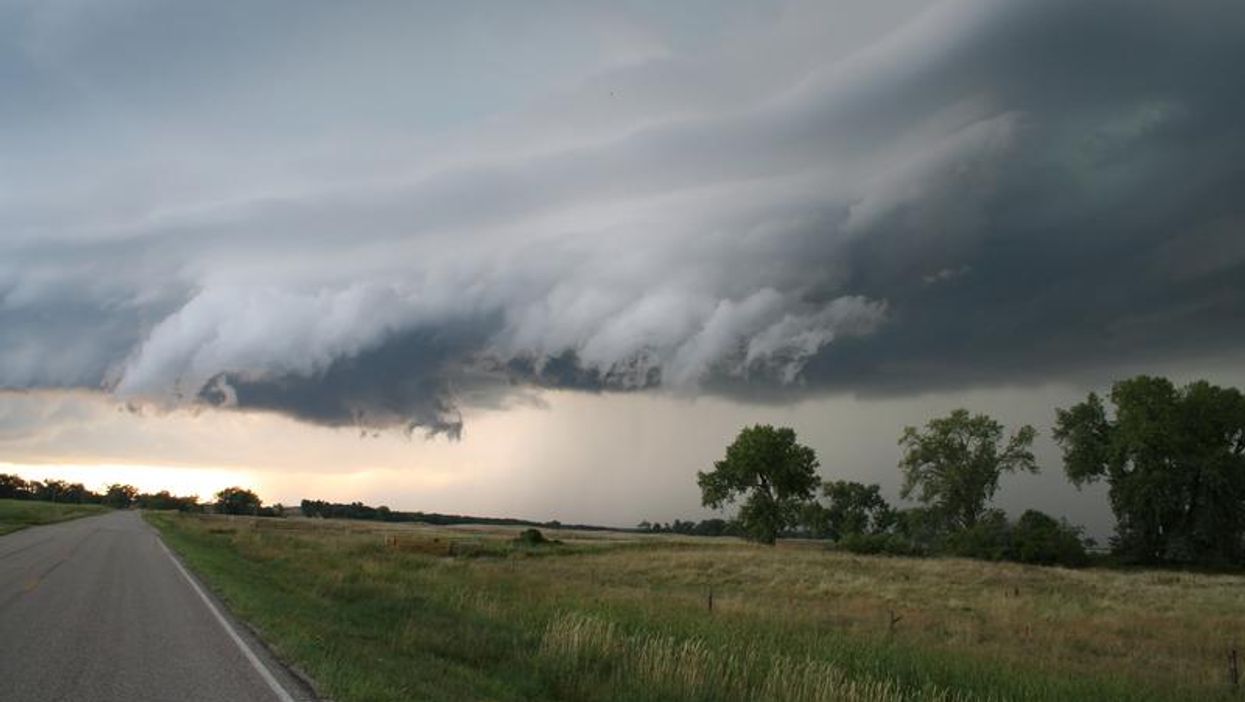
Residents of Northern Ontario are being warned of dangerous weather conditions that are moving into the province this afternoon and into the evening.
According to Environment Canada, a wave of severe thunderstorms will sweep into the areas of Atikokan, Shebandowan, Quetico Park, Kenora and more over the next few hours before becoming more widespread.
The thunderstorms are expected to bring large hail, strong winds and torrential rainfall.
"Some of these thunderstorms may become severe. Large hail is the main threat, although wind gusts up to 100 km/h cannot be ruled out," an excerpt from the warning reads.
Locals are being cautioned to look out for falling branches and to secure loose objects ahead of the strong wind gusts.
The hail, which is predicted to be "ping pong ball" sized, could also cause serious injury as well damage property.
This article's cover image was used for illustrative purposes only.