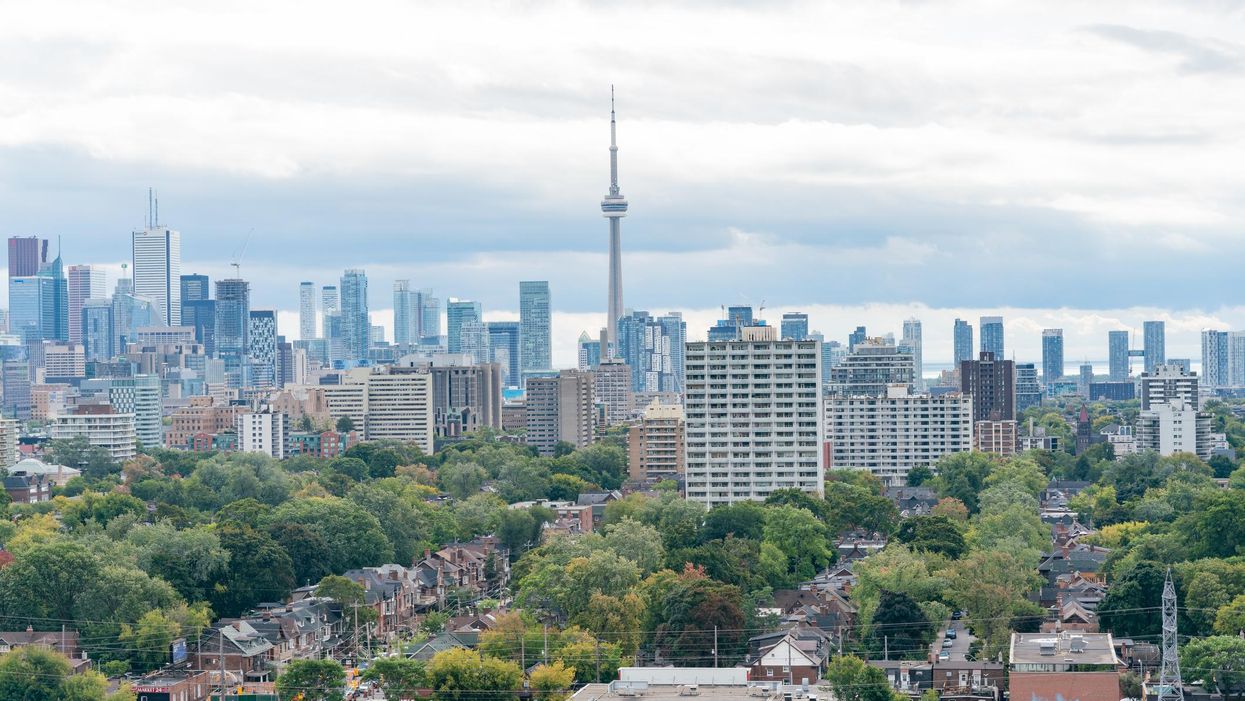
Some Torontonians have just moved to a totally new neighbourhood without even having to pack up their things, thanks to a revision of the social planning for neighbourhoods that added a bunch of districts across the city.
On Tuesday, April 12, the City of Toronto implemented a brand new structure that bumped the number of neighbourhoods up from 140 to 158.
According to the update about the new neighbourhoods, 16 high-growth neighbourhoods were split up into 34 new ones, and the old names were officially retired.
So, which spots were renamed?
According to the City's new social planning map, those who thought they were living in the Bay Street Corridor could now actually be in one of two new neighbourhoods: Bay-Cloverhill, or Yonge-Bay Corridor. The Church-Yonge Corridor was also carved out into two, Church-Wellesley and Downtown Yonge East.
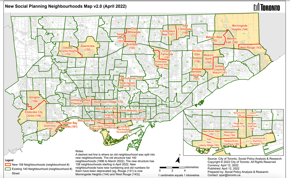 The City of Toronto's map of the updated neighbourhoods.City of Toronto
Some other major neighbourhood changes can be seen at Willowdale East, with three new neighbourhoods like Yonge-Doris, East Willowdale and Avondale.
Waterfront Communities-The Island has also been split into Wellington Place, Harbourfront-CityPlace and St Lawrence-East Bayfront-The Islands.
Here are the other new neighbourhoods in the 6ix:
- Woburn will now be Golfdale-Cedarbrae-Woburn and Woburn North
- Rouge will now be West Rouge and Morningside Heights
- Malvern will now be Malvern West and Malvern East
- L'Amoreaux will now be L'Amoreaux West and East L'Amoreaux
- Parkwoods-Donalda will now be Parkwoods-O'Connor Hills and Fenside-Parkwoods
- Downsview-Roding-CFB will now be Oakdale-Beverley Heights and Downsview
- Bendale will now be Bendale-Glen Andrew and Bendale South
- Islington-City Centre West will now be Islington and Etobicoke City Centre
- Mimico will now be Mimico-Queensway and Humber Bay Shores
- Niagara will now be West Queen West and Fort York-Liberty Village
- Dovercourt-Wallace-Emerson-Junction will now be Junction-Wallace Emerson and Dovercourt Village
- Mount Pleasant West will now be North Toronto and South Eglinton-Davisville
So, why did they decide to change things around?
Since the 1990s, the City has had social planning neighbourhoods in order to improve their planning and analysis and data collection, so that they can tackle what needs to be developed in each district accordingly.
The City decided to change things after not touching the boundaries for 25 years due to 2016 Census data that revealed population growth across Toronto.
"Differential population growth over the last 20 years has seen large population increases in parts of the city while other neighbourhoods saw no growth," said the City.
- Here Are Toronto's Top 8 Pet-Friendly Neighbourhoods To Live In ... ›
- These Are The 8 Best Neighbourhoods In Toronto For Families & Here's Why - Narcity ›
- These Are The Best Neighbourhoods To Buy Real Estate In Toronto & The Spots To Avoid - Narcity ›
- These Are The Happiest Neighbourhoods Around Toronto Based On What You Value Most - Narcity ›
- 5 Reasons Why I Think Parkdale Is The Best Neighbourhood In Toronto & You Can't Change My Mind - Narcity ›
- Locals Shared The Best Toronto Neighbourhoods To Live In & There Was A Clear Favourite (VIDEO) - Narcity ›
- Toronto Just Launched A Map That Lets You Check How Safe Your Apartment Building Really Is - Narcity ›